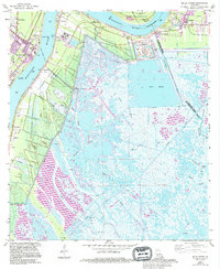
1966 Map of Belle Chasse
USGS Topo · Published 1994About this map
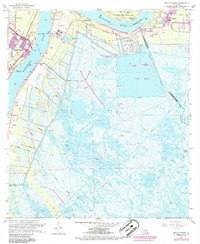
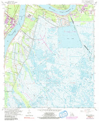
Mississippi River bends sharply through the heart of the Plaquemines Parish wetlands, separating established riverfront settlements from the expansive marshlands to the east. Along the western bank, the U S Naval Air Station at Belle Chasse anchors a landscape defined by intensive engineering, including the Sea Train Terminal and the Belle Chasse Ferry crossing. A network of man-made waterways, such as the Forty Arpent Canal and Delacroix Canal, drains the low-lying interior, which is dominated by the vast open water of Big Mar. The map captures a transition in land use, where higher ground like Tigers Ridge supports local roads and small communities like Dalcour and Stella, while the eastern reaches remain largely untamed swamp. These ridges represent the last vestiges of natural levee systems that once protected early settlements and plantations before the modern levee and canal systems reorganized the delta's hydrology.
Find a feature on this map
51 named features on this map. Tap any name to fly to it.
Don’t see what you’re looking for? This feature index may not catch every label — zoom into the map to look around manually.
Map Details
Editions of this 1966 Belle Chasse Map
6 editions found
Other maps of this area

1891 · Pointe a La Hache
USGS Topo · 1:62,500

1891 · New Orleans
USGS Topo · 1:62,500

1892 · Barataria
USGS Topo · 1:62,500

1892 · St. Bernard
USGS Topo · 1:62,500

1892 · Pointe a La Hache
USGS Topo · 1:62,500

1932 · New Orleans NE
USGS Topo · 1:31,680

1932 · New Orleans SE
USGS Topo · 1:31,680

1935 · Delacroix
USGS Topo · 1:31,680

1935 · Lake Batola
USGS Topo · 1:31,680
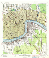
1939 · New Orleans East
USGS Topo · 1:31,680