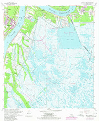
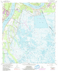
1966 Map of Belle Chasse
USGS Topo · Published 1980About this map
The Mississippi River defines the landscape of Plaquemines Parish in the mid-1960s, winding past river-fronting settlements like Belle Chasse and Braithwaite. This survey illustrates the intricate balance between heavy maritime industry and the marshy expanses of the Mississippi delta. Transportation infrastructure is dense along the banks, featuring the Southern Railroad, the Belle Chasse Ferry, and the Sea Train Terminal.
Find a feature on this map
42 named features on this map. Tap any name to fly to it.
Don’t see what you’re looking for? This feature index may not catch every label — zoom into the map to look around manually.
Map Details
Editions of this 1966 Belle Chasse Map
6 editions found
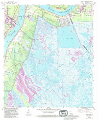
Other maps of this area

1891 · Pointe a La Hache
USGS Topo · 1:62,500

1891 · New Orleans
USGS Topo · 1:62,500

1892 · Barataria
USGS Topo · 1:62,500

1892 · St. Bernard
USGS Topo · 1:62,500

1892 · Pointe a La Hache
USGS Topo · 1:62,500

1932 · New Orleans NE
USGS Topo · 1:31,680

1932 · New Orleans SE
USGS Topo · 1:31,680

1935 · Delacroix
USGS Topo · 1:31,680

1935 · Lake Batola
USGS Topo · 1:31,680
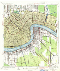
1939 · New Orleans East
USGS Topo · 1:31,680