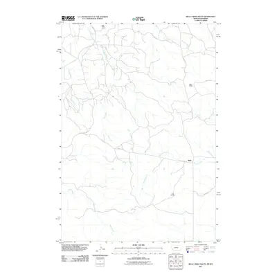
2011 Map of Belle Creek South
USGS Topo · Published 2011About this map
Ridge sits at a remote crossroads in Carter County, Montana, representing a high-plains landscape defined by seasonal watercourses and gravel ranch roads. The drainage systems of Belle Creek, Thompson Creek, and Wright Creek carve subtle paths across the terrain, converging toward the Wyoming border. These creeks, along with Blowout Creek and Ranch Creek, dictate the geography of the ranchlands and the placement of early infrastructure.
Find a feature on this map
15 named features on this map. Tap any name to fly to it.
Don’t see what you’re looking for? This feature index may not catch every label — zoom into the map to look around manually.
Map Details
Editions of this 2011 Belle Creek South Map
This is the sole edition of this map. No revisions or reprints were ever made.
Other maps of this area

1905 · Devils Tower
USGS Topo · 1:125,000

1954 · Ekalaka
USGS Topo · 1:250,000

1954 · Gillette
USGS Topo · 1:250,000

1955 · Gillette
USGS Topo · 1:250,000

1956 · Ekalaka
USGS Topo · 1:250,000

1957 · Cedar Ridge
USGS Topo · 1:62,500

1958 · Gillette
USGS Topo · 1:250,000

1958 · Ekalaka
USGS Topo · 1:250,000

1962 · Gillette
USGS Topo · 1:250,000

1965 · Ekalaka
USGS Topo · 1:250,000