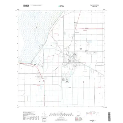
2018 Map of Belle Glade
USGS Topo · Published 2018About this map
The agricultural landscape of the Florida Everglades dominates this survey, where the engineered waters of Pelican Bay meet a grid of industrial farming roads and canals. Belle Glade serves as the central hub, supported by smaller settlements and worker centers like South Bay, Dahlberg, and Belle Glade Camp. The map illustrates the region's total reliance on water management, featuring the Hillsboro Canal and North New River Canal, which cut straight lines through the muck lands.
Find a feature on this map
111 named features on this map. Tap any name to fly to it.
Don’t see what you’re looking for? This feature index may not catch every label — zoom into the map to look around manually.
Map Details
Editions of this 2018 Belle Glade Map
This is the sole edition of this map. No revisions or reprints were ever made.
Other maps of this area

1956 · West Palm Beach
USGS Topo · 1:250,000

1957 · West Palm Beach
USGS Topo · 1:250,000

1958 · West Palm Beach
USGS Topo · 1:250,000

1970 · Lake Harbor
USGS Topo · 1:24,000

1970 · Belle Glade
USGS Topo · 1:24,000

1970 · Lake Harbor SE
USGS Topo · 1:24,000

1970 · Okeelanta
USGS Topo · 1:24,000

1970 · Pahokee
USGS Topo · 1:24,000

1970 · Shawano
USGS Topo · 1:24,000

1970 · Bryant
USGS Topo · 1:24,000