
1970 Map of Belle Glade
USGS Topo · Published 1972About this map
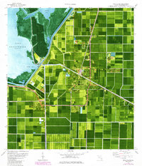
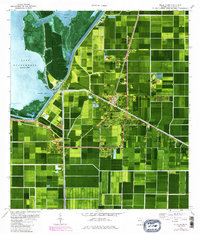
Belle Glade and South Bay sit at the intersection of agriculture and engineering, defined by the massive water control structures bordering Lake Okeechobee. The 1970 landscape is a geometric grid of muck-soil fields and drainage canals, including the Hillsboro Canal and North Coast Canal. This orthophoto provides a rare visual of the land use patterns near the Everglades Experiment Station and the industrial scale of the regional sugar and vegetable operations. The town center of Belle Glade shows established community institutions like Belle Glade High Sch and Gladeview Sch, while the Herbert Hoover Dyke stands as a massive barrier between the cultivated fields and the open waters of Pelican Bay. Further inland, the Florida East Coast railway serves the specialized agricultural outposts at Runyon and Dahlberg.
Find a feature on this map
41 named features on this map. Tap any name to fly to it.
Don’t see what you’re looking for? This feature index may not catch every label — zoom into the map to look around manually.
Map Details
Editions of this 1970 Belle Glade Map
3 editions found
Other maps of this area

1956 · West Palm Beach
USGS Topo · 1:250,000

1957 · West Palm Beach
USGS Topo · 1:250,000

1958 · West Palm Beach
USGS Topo · 1:250,000

1970 · Lake Harbor
USGS Topo · 1:24,000

1970 · Lake Harbor SE
USGS Topo · 1:24,000

1970 · Okeelanta
USGS Topo · 1:24,000

1970 · Pahokee
USGS Topo · 1:24,000

1970 · Shawano
USGS Topo · 1:24,000

1970 · Bryant
USGS Topo · 1:24,000

1970 · Sixmile Bend
USGS Topo · 1:24,000