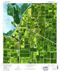
1970 Map of Belle Glade
USGS Topo · Published 1984About this map
Lake Okeechobee defines the western edge of this landscape, where the Rim Dike separates the open water from the highly engineered agricultural grid of Palm Beach County. The 1970s and early 1980s saw significant institutional and industrial development around Belle Glade and South Bay, including the Glades Correctional Institution and the Everglades Experiment Station. The map illustrates a complex water management system with the Hillsboro Canal and North New River Canal cutting through the muck lands. Local social and educational history is preserved through the locations of the Lake Shore High Sch, Rosenwald Sch, and the Drive-In Theater, reflecting the mid-century community structure of the region. Distinctive features like Kreamer Island and Torry Island sit just offshore, highlighting the transition from lake to reclaimed farmland.
Find a feature on this map
38 named features on this map. Tap any name to fly to it.
Don’t see what you’re looking for? This feature index may not catch every label — zoom into the map to look around manually.
Map Details
Editions of this 1970 Belle Glade Map
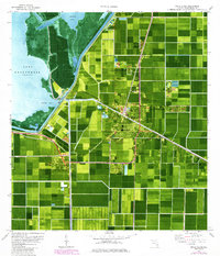
3 editions found
Other maps of this area

1956 · West Palm Beach
USGS Topo · 1:250,000

1957 · West Palm Beach
USGS Topo · 1:250,000

1958 · West Palm Beach
USGS Topo · 1:250,000

1970 · Lake Harbor
USGS Topo · 1:24,000

1970 · Belle Glade
USGS Topo · 1:24,000

1970 · Lake Harbor SE
USGS Topo · 1:24,000

1970 · Okeelanta
USGS Topo · 1:24,000

1970 · Pahokee
USGS Topo · 1:24,000

1970 · Shawano
USGS Topo · 1:24,000

1970 · Bryant
USGS Topo · 1:24,000