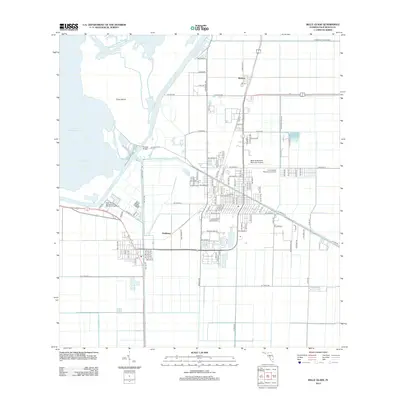
2024 Map of Belle Glade
USGS Topo · Published 2024About this map
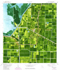
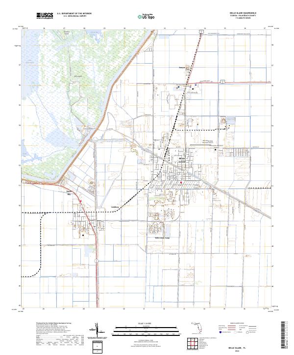
Belle Glade and South Bay anchor this landscape along the southern rim of Lake Okeechobee, where the engineered water systems of the Everglades are clearly defined. The geography is dominated by a complex network of man-made waterways, including the Rim Canal, Hillsboro Canal, and North New River Canal, which reflect the region's history of land reclamation and water management. Along the lake's edge, Kreamer Island and Torry Island sit within the marshes of Pelican Bay, connected to the mainland by specific corridors like Torry Island Rd.
Find a feature on this map
101 named features on this map. Tap any name to fly to it.
Don’t see what you’re looking for? This feature index may not catch every label — zoom into the map to look around manually.
Map Details
Editions of this 2024 Belle Glade Map
This is the sole edition of this map. No revisions or reprints were ever made.
Historical Maps of Belle Glade Through Time
6 maps found