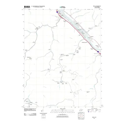
2011 Map of Belle
USGS Topo · Published 2011About this map
The Kanawha River serves as the industrial and transport corridor for this region south of Charleston, where the settlements of Marmet, Belle, and Chesapeake line the riverbanks. The landscape is defined by its numerous narrow valleys, locally known as hollows, such as Bradford Hollow and Wolfpen Hollow, which branch away from the main river valley. This settlement pattern reflects the traditional Appalachian development where homes and roads, like Fields Creek Rd, follow the flat bottoms of these drainages between steep ridges.
Find a feature on this map
86 named features on this map. Tap any name to fly to it.
Don’t see what you’re looking for? This feature index may not catch every label — zoom into the map to look around manually.
Map Details
Editions of this 2011 Belle Map
This is the sole edition of this map. No revisions or reprints were ever made.
Other maps of this area

1897 · Kanawha Falls
USGS Topo · 1:125,000

1899 · Charleston
USGS Topo · 1:125,000

1900 · Kanawha Falls
USGS Topo · 1:125,000

1901 · Kanawha Falls
USGS Topo · 1:125,000

1907 · Clendenin
USGS Topo · 1:62,500

1908 · Montgomery
USGS Topo · 1:48,000

1909 · Charleston
USGS Topo · 1:62,500

1909 · Clendenin
USGS Topo · 1:62,500

1909 · Peytona
USGS Topo · 1:48,000

1910 · Montgomery
USGS Topo · 1:62,500