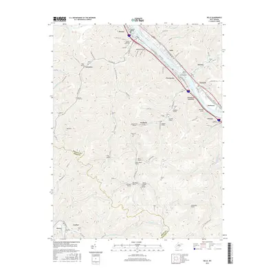
2016 Map of Belle
USGS Topo · Published 2016About this map
The Kanawha River corridor dominates this 2016 survey, serving as the industrial and residential spine for towns like Marmet, Chesapeake, and Belle. The narrow valley floor is densely packed with transportation infrastructure including MacCorkle Ave and the rail-linked Winifrede Junction, reflecting the enduring importance of river-front logistics. Beyond the river flats, the terrain rises into complex ridges and hollows that hold deep local significance for genealogists. Numerous family and community burial grounds, such as Snodgrass Cem and the Hoffman Cemeteries, are tucked into the hillsides. The naming of the landscape itself reveals historical land uses, with features like Opera House Hollow, Schoolhouse Hollow, and Sawmill Hollow marking the social and economic centers of earlier settlements that once thrived along the creeks branching off the main river valley.
Find a feature on this map
107 named features on this map. Tap any name to fly to it.
Don’t see what you’re looking for? This feature index may not catch every label — zoom into the map to look around manually.
Map Details
Editions of this 2016 Belle Map
This is the sole edition of this map. No revisions or reprints were ever made.
Other maps of this area

1897 · Kanawha Falls
USGS Topo · 1:125,000

1899 · Charleston
USGS Topo · 1:125,000

1900 · Kanawha Falls
USGS Topo · 1:125,000

1901 · Kanawha Falls
USGS Topo · 1:125,000

1907 · Clendenin
USGS Topo · 1:62,500

1908 · Montgomery
USGS Topo · 1:48,000

1909 · Charleston
USGS Topo · 1:62,500

1909 · Clendenin
USGS Topo · 1:62,500

1909 · Peytona
USGS Topo · 1:48,000

1910 · Montgomery
USGS Topo · 1:62,500