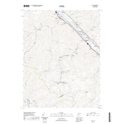
2019 Map of Belle
USGS Topo · Published 2019About this map
The Kanawha River corridor serves as the industrial and residential spine of this region, where the towns of Marmet, Chesapeake, and Belle sit between the water and the rising terrain. Along this stretch, transportation history is visible in the alignment of MacCorkle Ave and the infrastructure at Winifrede Junction. Nearby, the Island Airport and Scotts Island occupy a prominent position in the river channel.
Find a feature on this map
114 named features on this map. Tap any name to fly to it.
Don’t see what you’re looking for? This feature index may not catch every label — zoom into the map to look around manually.
Map Details
Editions of this 2019 Belle Map
This is the sole edition of this map. No revisions or reprints were ever made.
Other maps of this area

1897 · Kanawha Falls
USGS Topo · 1:125,000

1899 · Charleston
USGS Topo · 1:125,000

1900 · Kanawha Falls
USGS Topo · 1:125,000

1901 · Kanawha Falls
USGS Topo · 1:125,000

1907 · Clendenin
USGS Topo · 1:62,500

1908 · Montgomery
USGS Topo · 1:48,000

1909 · Charleston
USGS Topo · 1:62,500

1909 · Clendenin
USGS Topo · 1:62,500

1909 · Peytona
USGS Topo · 1:48,000

1910 · Montgomery
USGS Topo · 1:62,500