
1958 Map of Belle Meade NE
USGS Topo · Published 1959About this map
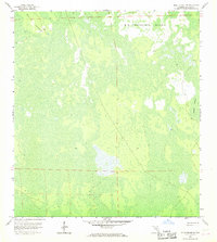
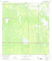
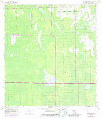
Big Corkscrew Island and Curry Island dominate this topographic study of Collier County, illustrating a landscape defined by expansive wetlands and seasonally flooded strands. The 1958 planetable survey reveals an intricate network of cypress sloughs and sawgrass marshes typical of the western Everglades before widespread development. A lone Camp located in the northeastern sector suggests the presence of cattlemen, hunters, or early surveyors who navigated these interior wetlands. The eastern edge is defined by the flowing waters of Stumpy Strand, a natural drainage feature that shapes the local hydrology. This map provides a detailed view of the township and range boundaries where many land lines remained unsurveyed at the time, reflecting the challenging, waterlogged nature of the Big Cypress region during the late 1950s.
Find a feature on this map
6 named features on this map. Tap any name to fly to it.
Don’t see what you’re looking for? This feature index may not catch every label — zoom into the map to look around manually.
Map Details
Editions of this 1958 Belle Meade NE Map
4 editions found
Other maps of this area

1956 · West Palm Beach
USGS Topo · 1:250,000

1957 · West Palm Beach
USGS Topo · 1:250,000

1958 · West Palm Beach
USGS Topo · 1:250,000

1958 · Corkscrew SE
USGS Topo · 1:24,000

1958 · Belle Meade
USGS Topo · 1:24,000

1958 · Catherine Island
USGS Topo · 1:24,000

1958 · Belle Meade NW
USGS Topo · 1:24,000

1958 · Immokalee SW
USGS Topo · 1:24,000

1958 · Corkscrew SW
USGS Topo · 1:24,000

1958 · Belle Meade SE
USGS Topo · 1:24,000