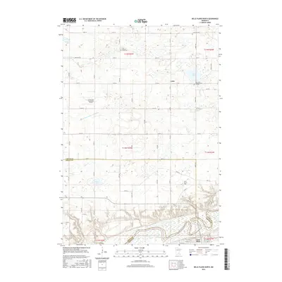
2016 Map of Belle Plaine North
USGS Topo · Published 2016About this map
The Minnesota River valley dominates the southern landscape of this 2016 survey, carving a deep path through the boundary of Sibley and Scott counties. The settlement of Belle Plaine sits at the base of this river bluff, serving as a hub for the surrounding agricultural prairie. To the north, the small community of Gotha represents the rural town centers that define the region. The map reveals a high density of lake and drainage features, including Maria Lake and the engineered Judicial Ditch Number Twenty-two, illustrating the region's managed wetlands.
Find a feature on this map
71 named features on this map. Tap any name to fly to it.
Don’t see what you’re looking for? This feature index may not catch every label — zoom into the map to look around manually.
Map Details
Editions of this 2016 Belle Plaine North Map
This is the sole edition of this map. No revisions or reprints were ever made.
Other maps of this area

1905 · Minnetonka
USGS Topo · 1:62,500

1907 · Minnetonka
USGS Topo · 1:62,500

1953 · Saint Paul
USGS Topo · 1:250,000

1957 · Belle Plaine
USGS Topo · 1:62,500

1957 · Waconia
USGS Topo · 1:62,500

1957 · New Prague
USGS Topo · 1:62,500

1958 · Victoria
USGS Topo · 1:24,000

1958 · Lake Minnetonka
USGS Topo · 1:62,500

1959 · Saint Paul
USGS Topo · 1:250,000
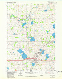
1981 · Norwood
USGS Topo · 1:24,000
Featured Places
- Belle Plaine, MN
- Benton Township, MN
- Valley View Terrace, Belle Plaine
- Dahlgren Township, MN
- Hancock Township, MN