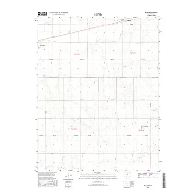
2015 Map of Bellefont
USGS Topo · Published 2015About this map
Spearville and the smaller community of Windhorst anchor this Ford County landscape, where the agricultural grid is defined by a dense network of numbered and named section roads. This 2015 survey reveals how the local economy follows the drainage of several prairie waterways, including White Woman Cr, Little Coon Cr, and the larger Coon Cr. The terrain is marked by the Correction Line Rd, a testament to the early land surveyors' adjustments to the Earth's curvature. Genealogists and local historians will find value in the location of Holy Cross Cem near Windhorst, while the settlement of Bellefont sits along the northern rail and highway corridor. The map reflects a modern rural Kansas topography where historic road names like Kettle Rd, Iron Rd, and Lutheran Rd persist alongside the established township lines of T25S and T26S.
Find a feature on this map
34 named features on this map. Tap any name to fly to it.
Don’t see what you’re looking for? This feature index may not catch every label — zoom into the map to look around manually.
Map Details
Editions of this 2015 Bellefont Map
This is the sole edition of this map. No revisions or reprints were ever made.
Other maps of this area

1892 · Spearville
USGS Topo · 1:125,000

1894 · Spearville
USGS Topo · 1:125,000

1955 · Pratt
USGS Topo · 1:250,000

1959 · Pratt
USGS Topo · 1:250,000

1969 · Bucklin NE
USGS Topo · 1:24,000

1969 · Bucklin NW
USGS Topo · 1:24,000

1969 · Ford
USGS Topo · 1:24,000
1972 · Bellefont
USGS Topo · 1:24,000
1972 · Offerle SE
USGS Topo · 1:24,000
1972 · Spearville
USGS Topo · 1:24,000