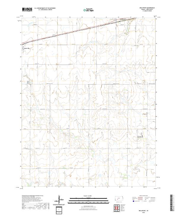
2022 Map of Bellefont
USGS Topo · Published 2022About this map
The settlement of Windhorst anchors the southeastern reaches of this Ford County landscape, serving as a hub for local families and agricultural history near the Holy Cross Cem. This section of Kansas is defined by the subtle drainage patterns of several intermittent waterways, including the upper reaches of White Woman Cr, Little Coon Cr, and Coon Cr. These watercourses carve gentle impressions through a strictly ordered grid of section roads, such as Denim Rd and Iron Rd. Along the northern edge, the tiny community of Bellefont sits near the crossing of the rail line and state highway, while the eastern outskirts of Spearville appear on the western margin. The map provides an exceptionally clear view of the Public Land Survey System (PLSS) layout, showing the township and range boundaries that have dictated land ownership and road placement across these high plains since the era of original settlement.
Find a feature on this map
21 named features on this map. Tap any name to fly to it.
Don’t see what you’re looking for? This feature index may not catch every label — zoom into the map to look around manually.
Map Details
Editions of this 2022 Bellefont Map
This is the sole edition of this map. No revisions or reprints were ever made.
Other maps of this area

1892 · Spearville
USGS Topo · 1:125,000

1894 · Spearville
USGS Topo · 1:125,000

1955 · Pratt
USGS Topo · 1:250,000

1959 · Pratt
USGS Topo · 1:250,000

1969 · Bucklin NE
USGS Topo · 1:24,000

1969 · Bucklin NW
USGS Topo · 1:24,000

1969 · Ford
USGS Topo · 1:24,000
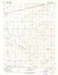
1972 · Bellefont
USGS Topo · 1:24,000
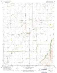
1972 · Offerle SE
USGS Topo · 1:24,000
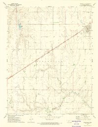
1972 · Spearville
USGS Topo · 1:24,000