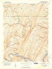
1951 Map of Bellegrove
USGS Topo · Published 1952About this map
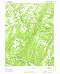
Sideling Hill Creek carves a winding path through this 1951 study of the Maryland-Pennsylvania borderlands, where the National Pike serves as a primary artery through Bellegrove. The landscape is defined by the sharp parallel ridges of Long Ridge and Tonoloway Ridge, which channel development into narrow valleys. Along the southern edge, the Potomac River forms a complex boundary, featuring the prominent Turkey Foot Bend. This area shows a critical moment in regional transportation history, with the C & O Canal (Abandoned) and Western Maryland Railway (Abandoned) visible alongside active lines like the Baltimore and Ohio Railroad. Significant local landmarks include the Woodmont Club and numerous country churches such as Piney Plains Ch and Big Ridge Ch, which anchor the rural settlements of Pearre, Exline, and Lineburg.
Find a feature on this map
66 named features on this map. Tap any name to fly to it.
Don’t see what you’re looking for? This feature index may not catch every label — zoom into the map to look around manually.
Map Details
Editions of this 1951 Bellegrove Map
7 editions found
Other maps of this area

1898 · Paw Paw
USGS Topo · 1:62,500

1899 · Hancock
USGS Topo · 1:62,500

1900 · Pawpaw
USGS Topo · 1:62,500

1901 · Hancock
USGS Topo · 1:62,500

1910 · Paw Paw
USGS Topo · 1:62,500

1925 · Needmore
USGS Topo · 1:48,000

1927 · Clearville
USGS Topo · 1:48,000

1931 · Clearville
USGS Topo · 1:62,500

1935 · Needmore
USGS Topo · 1:62,500

1939 · Needmore
USGS Topo · 1:62,500