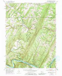
1951 Map of Bellegrove
USGS Topo · Published 1987About this map
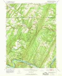
The Mason and Dixon Line defines the northern boundary of this 1951 survey, where the steep ridges of Sideling Hill and Long Ridge dominate the landscape of Washington County. Along the southern edge, the Potomac River carves a dramatic oxbow at Turkey Foot Bend, flanked by a dense transportation corridor featuring the Western Maryland RR, the Baltimore and Ohio RR, and the historic Chesapeake and Ohio Canal. These routes served small riverfront communities like Pearre and Cohill at the base of the mountains.
Find a feature on this map
51 named features on this map. Tap any name to fly to it.
Don’t see what you’re looking for? This feature index may not catch every label — zoom into the map to look around manually.
Map Details
Editions of this 1951 Bellegrove Map
7 editions found
Other maps of this area

1898 · Paw Paw
USGS Topo · 1:62,500

1899 · Hancock
USGS Topo · 1:62,500

1900 · Pawpaw
USGS Topo · 1:62,500

1901 · Hancock
USGS Topo · 1:62,500

1910 · Paw Paw
USGS Topo · 1:62,500

1925 · Needmore
USGS Topo · 1:48,000

1927 · Clearville
USGS Topo · 1:48,000

1931 · Clearville
USGS Topo · 1:62,500

1935 · Needmore
USGS Topo · 1:62,500

1939 · Needmore
USGS Topo · 1:62,500