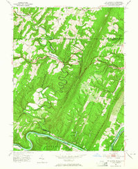
1951 Map of Bellegrove
USGS Topo · Published 1965About this map
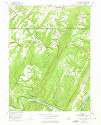
The Mason and Dixon Line serves as a prominent boundary on this mid-century survey, dividing Pennsylvania and Maryland above the settlement of Bellegrove. The landscape is dominated by the parallel ridges of Sideling Hill and Tonoloway Ridge, where narrow gaps and hollows dictate the passage of early transportation routes. The National Pike and National Road cut across the northern terrain, while the southern edge is defined by the winding Potomac River.
Find a feature on this map
57 named features on this map. Tap any name to fly to it.
Don’t see what you’re looking for? This feature index may not catch every label — zoom into the map to look around manually.
Map Details
Editions of this 1951 Bellegrove Map
7 editions found
Other maps of this area

1898 · Paw Paw
USGS Topo · 1:62,500

1899 · Hancock
USGS Topo · 1:62,500

1900 · Pawpaw
USGS Topo · 1:62,500

1901 · Hancock
USGS Topo · 1:62,500

1910 · Paw Paw
USGS Topo · 1:62,500

1925 · Needmore
USGS Topo · 1:48,000

1927 · Clearville
USGS Topo · 1:48,000

1931 · Clearville
USGS Topo · 1:62,500

1935 · Needmore
USGS Topo · 1:62,500

1939 · Needmore
USGS Topo · 1:62,500