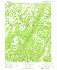
1951 Map of Bellegrove
USGS Topo · Published 1975About this map
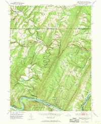
The Potomac River carves a dramatic southern boundary through this landscape where Maryland, Pennsylvania, and West Virginia converge. This mid-century survey highlights the intricate transportation corridors following the water, including the historic Chesapeake and Ohio Canal, the Western Maryland Railway, and the Baltimore and Ohio Railroad. Notable river features like the sharp Turkey Foot Bend and the Indigo Tunnel illustrate the engineering challenges of navigating the Appalachian ridges.
Find a feature on this map
49 named features on this map. Tap any name to fly to it.
Don’t see what you’re looking for? This feature index may not catch every label — zoom into the map to look around manually.
Map Details
Editions of this 1951 Bellegrove Map
7 editions found
Other maps of this area

1898 · Paw Paw
USGS Topo · 1:62,500

1899 · Hancock
USGS Topo · 1:62,500

1900 · Pawpaw
USGS Topo · 1:62,500

1901 · Hancock
USGS Topo · 1:62,500

1910 · Paw Paw
USGS Topo · 1:62,500

1925 · Needmore
USGS Topo · 1:48,000

1927 · Clearville
USGS Topo · 1:48,000

1931 · Clearville
USGS Topo · 1:62,500

1935 · Needmore
USGS Topo · 1:62,500

1939 · Needmore
USGS Topo · 1:62,500