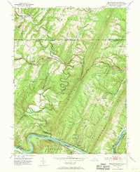
1951 Map of Bellegrove
USGS Topo · Published 1969About this map
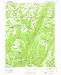
The Mason and Dixon Line serves as a stark jurisdictional boundary atop the ridges of this 1951 survey, where the borders of Pennsylvania, Maryland, and West Virginia converge. The landscape is defined by the tight meanders of the Potomac River and the Sideling Hill Creek, which carves through the prominent elevation of Sideling Hill. Transportation history is layered across the terrain, showing the National Pike cutting east-west while the river corridor contains the silent remains of the Chesapeake and Ohio Canal (Abandoned) and the Western Maryland Railway (Abandoned). Small rural centers like Bellegrove and Exline are anchored by local landmarks such as Piney Plains Ch and Big Ridge Ch, while the southern reaches near the Cacapon River include the private grounds of the Woodmont Club.
Find a feature on this map
55 named features on this map. Tap any name to fly to it.
Don’t see what you’re looking for? This feature index may not catch every label — zoom into the map to look around manually.
Map Details
Editions of this 1951 Bellegrove Map
7 editions found
Other maps of this area

1898 · Paw Paw
USGS Topo · 1:62,500

1899 · Hancock
USGS Topo · 1:62,500

1900 · Pawpaw
USGS Topo · 1:62,500

1901 · Hancock
USGS Topo · 1:62,500

1910 · Paw Paw
USGS Topo · 1:62,500

1925 · Needmore
USGS Topo · 1:48,000

1927 · Clearville
USGS Topo · 1:48,000

1931 · Clearville
USGS Topo · 1:62,500

1935 · Needmore
USGS Topo · 1:62,500

1939 · Needmore
USGS Topo · 1:62,500