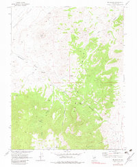
1968 Map of Bellehelen
USGS Topo · Published 1983About this map
Bellehelen sits at the head of a canyon in the high desert of Nye County, where this 1960s-era survey reveals a landscape defined by isolated mining operations and remote cattle ranching. The map identifies specific mineral prospects including the Ajax Mine, Craig Mine, and Ben Hur Mine, interspersed with remnants of earlier habitation labeled as Ruins. These sites are linked by a network of Jeep Trails that traverse the gaps between Stone Cabin Valley and Reveille Valley.
Find a feature on this map
28 named features on this map. Tap any name to fly to it.
Don’t see what you’re looking for? This feature index may not catch every label — zoom into the map to look around manually.
Map Details
Editions of this 1968 Bellehelen Map
2 editions found
Other maps of this area

1908 · Kawich
USGS Topo · 1:250,000

1942 · Cactus Range
USGS Topo · 1:125,000

1942 · Reveille Peak
USGS Topo · 1:125,000

1952 · Stinking Spring
USGS Topo · 1:62,500

1952 · Kawich Peak
USGS Topo · 1:62,500

1954 · Goldfield
USGS Topo · 1:250,000

1955 · Goldfield
USGS Topo · 1:250,000

1956 · Tonopah
USGS Topo · 1:250,000

1958 · Goldfield
USGS Topo · 1:250,000

1959 · Tonopah
USGS Topo · 1:250,000