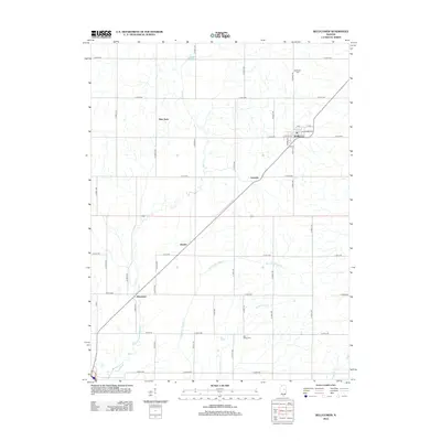
2012 Map of Bellflower
USGS Topo · Published 2012About this map
Bellflower serves as the primary hub of this Central Illinois landscape, where a grid of rural roads meets the diagonal passage of the railroad. The township's history is preserved in landmarks such as Bellflower Cem to the north and Blue Ridge Cem to the south, marking the roots of early agricultural families. Small settlements and former rail stops like Kumler, Laurette, and Weedman are scattered along the tracks, illustrating the historical dependence on rail transport for moving grain and goods.
Find a feature on this map
49 named features on this map. Tap any name to fly to it.
Don’t see what you’re looking for? This feature index may not catch every label — zoom into the map to look around manually.
Map Details
Editions of this 2012 Bellflower Map
This is the sole edition of this map. No revisions or reprints were ever made.
Other maps of this area

1907 · Mahomet
USGS Topo · 1:62,500

1928 · Gibson City
USGS Topo · 1:62,500

1937 · Monticello
USGS Topo · 1:48,000

1943 · Monticello
USGS Topo · 1:62,500

1952 · Arrowsmith
USGS Topo · 1:62,500

1957 · Gibson City
USGS Topo · 1:62,500

1957 · Mahomet
USGS Topo · 1:62,500

1958 · Peoria
USGS Topo · 1:250,000

1961 · Peoria
USGS Topo · 1:250,000

1963 · Peoria
USGS Topo · 1:250,000