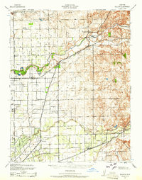
1939 Map of Bellota
USGS Topo · Published 1961About this map
The Mokelumne River and Calaveras River define the agricultural and transit corridors of this Central Valley landscape. The settlement pattern is anchored by small community hubs such as Lockeford and Clements, while the rural expanse is dotted with a remarkably high density of local school districts, including Oakview Union Sch, Washington Sch, and Harmony Grove Sch. These schools, often situated at crossroads, suggest a well-distributed farming population during this era.
Find a feature on this map
42 named features on this map. Tap any name to fly to it.
Don’t see what you’re looking for? This feature index may not catch every label — zoom into the map to look around manually.
Map Details
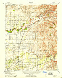
Editions of this 1939 Bellota Map
2 editions found
Other maps of this area

1889 · Jackson
USGS Topo · 1:125,000

1892 · Jackson
USGS Topo · 1:125,000

1894 · Lodi
USGS Topo · 1:125,000

1897 · Jackson
USGS Topo · 1:125,000

1902 · Jackson
USGS Topo · 1:125,000

1908 · Waterloo
USGS Topo · 1:31,680

1908 · Linden
USGS Topo · 1:31,680

1908 · Lockeford
USGS Topo · 1:31,680

1909 · Clay
USGS Topo · 1:31,680

1909 · Goose Creek
USGS Topo · 1:31,680