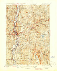
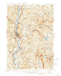
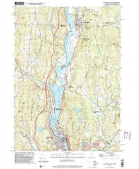
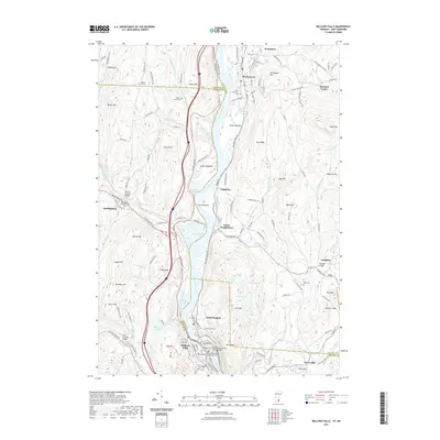
1930 Map of Bellows Falls
USGS Topo · Published 1945About this map
The Connecticut River serves as the central artery for this late 1920s survey, dividing the Vermont towns of Westminster and Rockingham from their New Hampshire neighbors. In the industrially active Bellows Falls, the Boston and Maine RR hugs the riverbanks, supporting the regional economy alongside landmarks like the Kurn Hattin Home. The map captures a transition from river-level commerce to the higher, agricultural uplands of Alstead and Charlestown.
Find a feature on this map
119 named features on this map. Tap any name to fly to it.
Don’t see what you’re looking for? This feature index may not catch every label — zoom into the map to look around manually.
Map Details
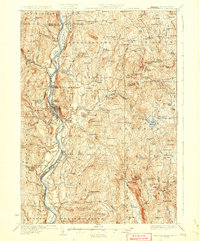
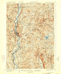
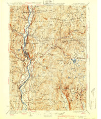
Editions of this 1930 Bellows Falls Map
7 editions found


Historical Maps of Brockways Mills Through Time
10 maps found
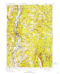
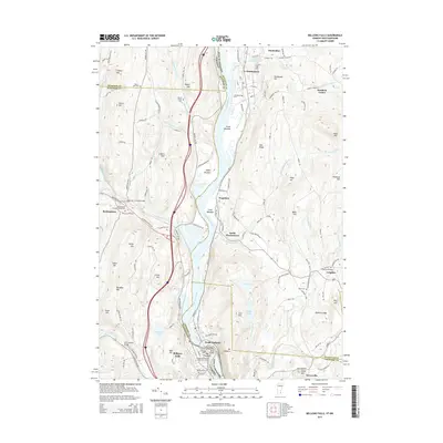
1927 Bellows Falls
Windham County, VT
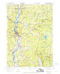
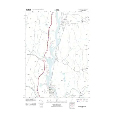
1930 Bellows Falls
Windham County, VT
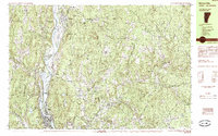
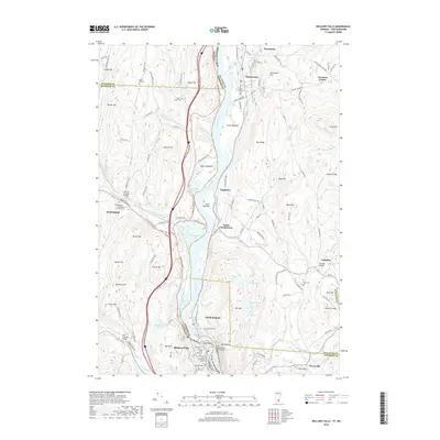
1957 Bellows Falls
Windham County, VT
1985 Bellows Falls
Windham County, VT
1998 Bellows Falls
Windham County, VT
2012 Bellows Falls
Windham County, VT
2015 Bellows Falls
Windham County, VT
2018 Bellows Falls
Windham County, VT
2021 Bellows Falls
Windham County, VT
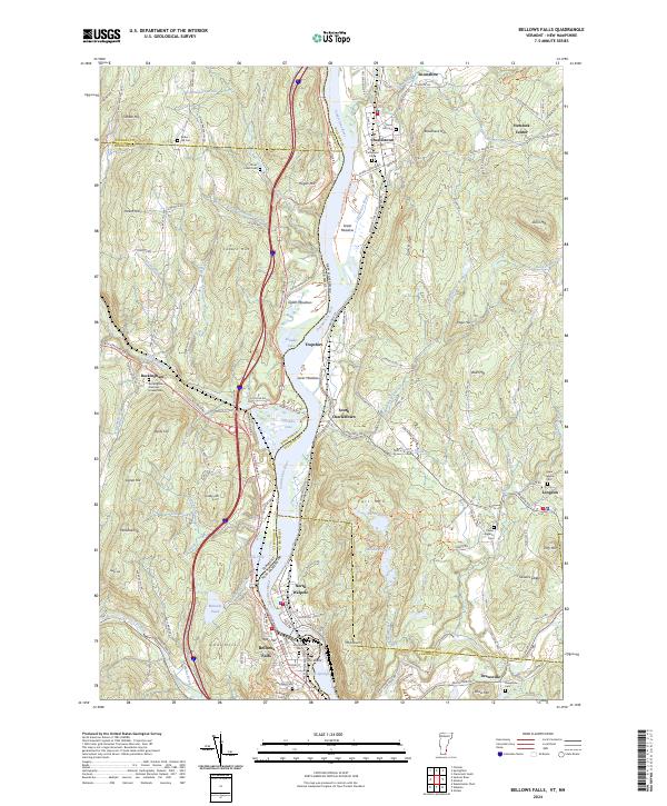
2024 Bellows Falls
Windham County, VT