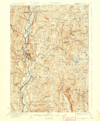
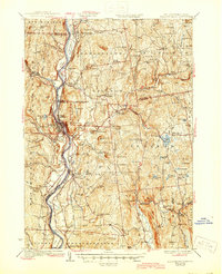
1930 Map of Bellows Falls
USGS Topo · Published 1930About this map
Connecticut River valley life in the late 1920s is centered around the industrial hub of Bellows Falls and the surrounding agricultural uplands. The Boston and Maine Railroad follows the riverbanks, connecting riverside settlements like Walpole and Westminster Sta to the wider region. In the hills of New Hampshire, the landscape is defined by small, decentralized hamlets and specialized sites such as the Mica Mine near Gilsum and the venerable Dodge Tavern. The map reveals an intricate network of local schools serving scattered neighborhoods, including the Mica Mine Sch and Holden Hill Sch. Water resources are prominent, from the industrial utility of the Walpole Reservoir to the recreational character of Vilas Pool and Lake Warren, showing how the area balanced transit, extraction, and community life.
Find a feature on this map
122 named features on this map. Tap any name to fly to it.
Don’t see what you’re looking for? This feature index may not catch every label — zoom into the map to look around manually.
Map Details
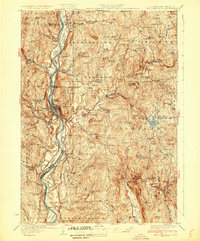
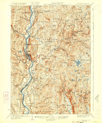
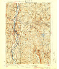
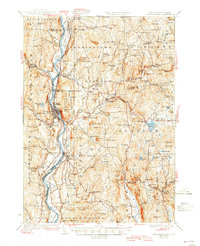
Editions of this 1930 Bellows Falls Map
7 editions found

Other maps of this area

1891 · Brattleboro
USGS Topo · 1:62,500

1893 · Brattleboro
USGS Topo · 1:62,500

1898 · Monadnock
USGS Topo · 1:62,500

1898 · Keene
USGS Topo · 1:62,500

1902 · Sunapee
USGS Topo · 1:62,500

1905 · Sunapee
USGS Topo · 1:62,500

1907 · Sunapee
USGS Topo · 1:62,500

1926 · Claremont
USGS Topo · 1:62,500

1927 · Bellows Falls
USGS Topo · 1:48,000

1928 · Ludlow
USGS Topo · 1:48,000