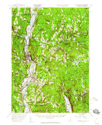
1957 Map of Bellows Falls
USGS Topo · Published 1960About this map
The Connecticut River serves as the central artery and state boundary in this mid-century topographic study, defining the corridor where the Boston and Maine railroad tracks parallel the water. The landscape is characterized by a high density of named heights such as Hitchcock Mtn and Rice Mtns, which separate the river valley from inland upland settlements like Alstead Center and Mill Hollow. The settlement pattern reflects a deeply rooted New England geography, where transportation hubs like Westminster Sta and Westmoreland Depot once anchored the local economy.
Find a feature on this map
105 named features on this map. Tap any name to fly to it.
Don’t see what you’re looking for? This feature index may not catch every label — zoom into the map to look around manually.
Map Details
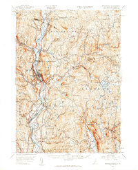
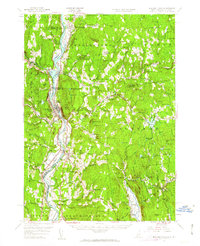
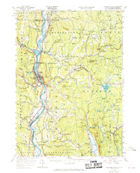
Editions of this 1957 Bellows Falls Map
4 editions found
Other maps of this area

1891 · Brattleboro
USGS Topo · 1:62,500

1893 · Brattleboro
USGS Topo · 1:62,500

1898 · Monadnock
USGS Topo · 1:62,500

1898 · Keene
USGS Topo · 1:62,500

1902 · Sunapee
USGS Topo · 1:62,500

1905 · Sunapee
USGS Topo · 1:62,500

1907 · Sunapee
USGS Topo · 1:62,500

1926 · Claremont
USGS Topo · 1:62,500

1927 · Bellows Falls
USGS Topo · 1:48,000

1928 · Ludlow
USGS Topo · 1:48,000