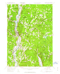
1957 Map of Bellows Falls
USGS Topo · Published 1963About this map
The Connecticut River serves as the central artery of this region, defining the border between Vermont and New Hampshire as it flows past Bellows Falls and North Walpole. The landscape is shaped by industrial and agricultural patterns, where the Boston and Maine Railroad follows the river valley, connecting settlements like Charlestown and Westminster Station. Upland areas to the east in New Hampshire, including Alstead and Acworth, are dotted with isolated schoolhouses like the Derry Hill School and specialized landmarks such as the Beryl Min and Mine Ledge. The topography is a complex arrangement of family-named peaks and ridges, including Darby Hill, Joslin Hill, and Marvin Hill. Local history is preserved in the location of the Dodge Tavern and the Kurn Hattin Home, reflecting a mid-century rural economy shifting between traditional river-valley commerce and mountain-side extraction.
Find a feature on this map
174 named features on this map. Tap any name to fly to it.
Don’t see what you’re looking for? This feature index may not catch every label — zoom into the map to look around manually.
Map Details
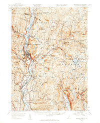
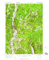
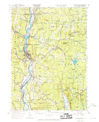
Editions of this 1957 Bellows Falls Map
4 editions found
Other maps of this area

1891 · Brattleboro
USGS Topo · 1:62,500

1893 · Brattleboro
USGS Topo · 1:62,500

1898 · Monadnock
USGS Topo · 1:62,500

1898 · Keene
USGS Topo · 1:62,500

1902 · Sunapee
USGS Topo · 1:62,500

1905 · Sunapee
USGS Topo · 1:62,500

1907 · Sunapee
USGS Topo · 1:62,500

1926 · Claremont
USGS Topo · 1:62,500

1927 · Bellows Falls
USGS Topo · 1:48,000

1928 · Ludlow
USGS Topo · 1:48,000