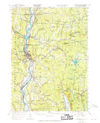
1957 Map of Bellows Falls
USGS Topo · Published 1970About this map
The Connecticut River serves as the central artery for this Connecticut River Valley landscape, dividing the communities of Bellows Falls and North Walpole at its narrowest points. The topography is defined by significant elevations like Fall Mountain and Mt Kilburn, which overlook a complex network of smaller villages and agricultural enclaves. The valley floor is characterized by fertile tracts such as Great Meadow, Upper Meadows, and Lower Meadow, while the surrounding hills are dotted with landmarks of early New England life, including the Dodge Tavern and several small rural cemeteries like St Peters Cem.
Find a feature on this map
133 named features on this map. Tap any name to fly to it.
Don’t see what you’re looking for? This feature index may not catch every label — zoom into the map to look around manually.
Map Details
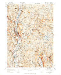
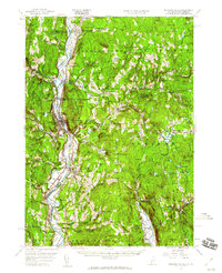
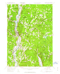
Editions of this 1957 Bellows Falls Map
4 editions found
Other maps of this area

1891 · Brattleboro
USGS Topo · 1:62,500

1893 · Brattleboro
USGS Topo · 1:62,500

1898 · Monadnock
USGS Topo · 1:62,500

1898 · Keene
USGS Topo · 1:62,500

1902 · Sunapee
USGS Topo · 1:62,500

1905 · Sunapee
USGS Topo · 1:62,500

1907 · Sunapee
USGS Topo · 1:62,500

1926 · Claremont
USGS Topo · 1:62,500

1927 · Bellows Falls
USGS Topo · 1:48,000

1928 · Ludlow
USGS Topo · 1:48,000