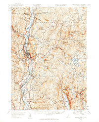
1957 Map of Bellows Falls
USGS Topo · Published 1960About this map
The Connecticut River serves as the central artery for this borderland, dividing the hills of Vermont and New Hampshire. Fertile agricultural flats including Great Meadow and the Upper Meadows line the river, which supported the growth of industrial and transit hubs like Bellows Falls and Walpole. The rail infrastructure is prominent, featuring the Boston and Maine and Central Vermont lines that follow the river’s course, linking settlements such as Westminster Sta and North Westminster.
Find a feature on this map
130 named features on this map. Tap any name to fly to it.
Don’t see what you’re looking for? This feature index may not catch every label — zoom into the map to look around manually.
Map Details
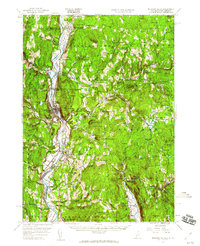
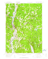
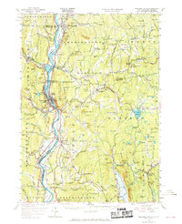
Editions of this 1957 Bellows Falls Map
4 editions found
Other maps of this area

1891 · Brattleboro
USGS Topo · 1:62,500

1893 · Brattleboro
USGS Topo · 1:62,500

1898 · Monadnock
USGS Topo · 1:62,500

1898 · Keene
USGS Topo · 1:62,500

1902 · Sunapee
USGS Topo · 1:62,500

1905 · Sunapee
USGS Topo · 1:62,500

1907 · Sunapee
USGS Topo · 1:62,500

1926 · Claremont
USGS Topo · 1:62,500

1927 · Bellows Falls
USGS Topo · 1:48,000

1928 · Ludlow
USGS Topo · 1:48,000