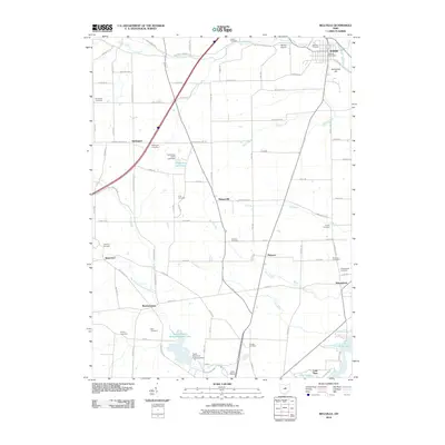
2010 Map of Bellville
USGS Topo · Published 2010About this map
Bellville serves as the primary hub in this portion of the Richland and Knox County borderlands, where the Clear Fork Mohican River flows through the northern reaches. The landscape is defined by a dense network of rural roads connecting small settlements like Darlington, Bangorville, and Batemantown. A notable concentration of burial sites, including the Old Center Cemetery and Ridenour Cemetery, provides significant documentation for genealogical research in the area.
Find a feature on this map
97 named features on this map. Tap any name to fly to it.
Don’t see what you’re looking for? This feature index may not catch every label — zoom into the map to look around manually.
Map Details
Editions of this 2010 Bellville Map
This is the sole edition of this map. No revisions or reprints were ever made.
Other maps of this area

1912 · Gambier
USGS Topo · 1:62,500

1912 · Perrysville
USGS Topo · 1:62,500

1914 · Gambier
USGS Topo · 1:62,500

1915 · Perrysville
USGS Topo · 1:62,500

1915 · Shauck
USGS Topo · 1:62,500

1915 · Fredericktown
USGS Topo · 1:62,500

1943 · Shauck
USGS Topo · 1:62,500

1943 · Gambier
USGS Topo · 1:62,500

1943 · Fredericktown
USGS Topo · 1:62,500

1944 · Perrysville
USGS Topo · 1:62,500