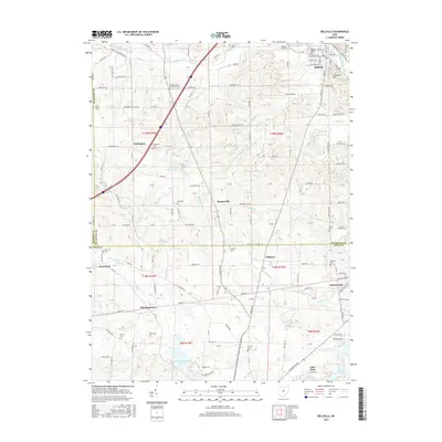
2016 Map of Bellville
USGS Topo · Published 2016About this map
The village of Bellville serves as the focal point of this Richland County landscape, situated along the Clear Fork Mohican River. The terrain transitions from the elevations of Schweitzer Hill in the northeast to the significant water bodies in the south, including Knox Lake and the North Br Kokosing River Lake. Numerous small settlements such as Darlington, Bangorville, and Palmyra are linked by a dense network of township roads and county highways that crisscross the borders of Morrow and Knox counties. Local history is deeply embedded in the rural acreage, evidenced by several family and community burial grounds including the Old Center Cem, Ankenytown Cem, and Ruhl Cem. The area maintains its rural character with features like Timberline Camp Lake and the Bender Airport, reflecting a community defined by its waterways and agricultural tradition.
Find a feature on this map
108 named features on this map. Tap any name to fly to it.
Don’t see what you’re looking for? This feature index may not catch every label — zoom into the map to look around manually.
Map Details
Editions of this 2016 Bellville Map
This is the sole edition of this map. No revisions or reprints were ever made.
Other maps of this area

1912 · Gambier
USGS Topo · 1:62,500

1912 · Perrysville
USGS Topo · 1:62,500

1914 · Gambier
USGS Topo · 1:62,500

1915 · Perrysville
USGS Topo · 1:62,500

1915 · Shauck
USGS Topo · 1:62,500

1915 · Fredericktown
USGS Topo · 1:62,500

1943 · Shauck
USGS Topo · 1:62,500

1943 · Gambier
USGS Topo · 1:62,500

1943 · Fredericktown
USGS Topo · 1:62,500

1944 · Perrysville
USGS Topo · 1:62,500