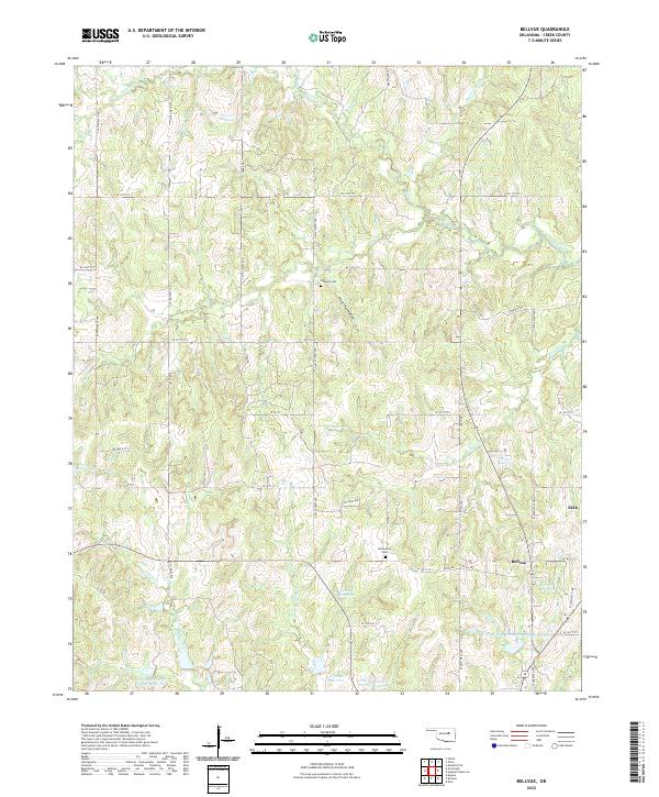
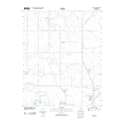
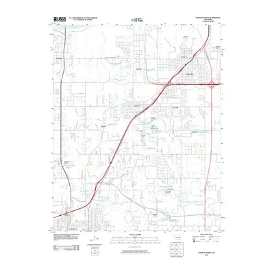
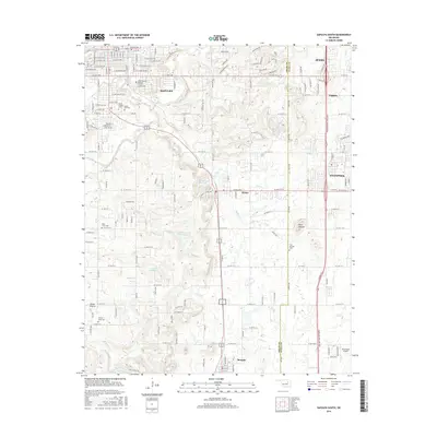
2022 Map of Bellvue
USGS Topo · Published 2022About this map
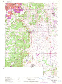
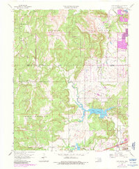
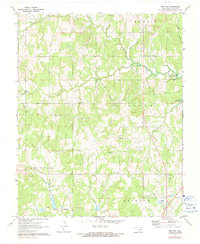
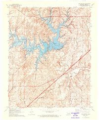
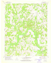
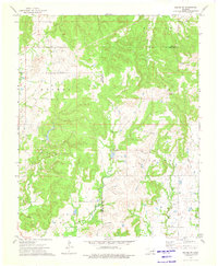
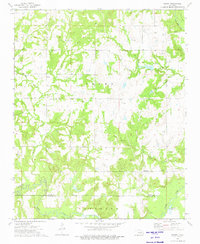
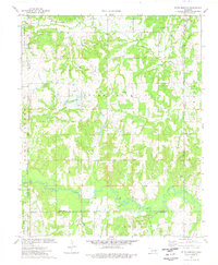
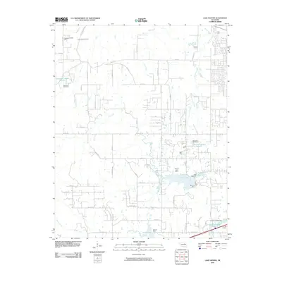
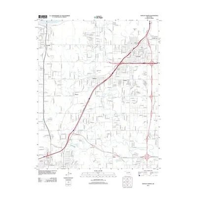
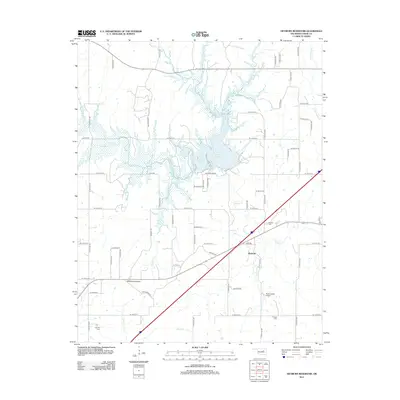
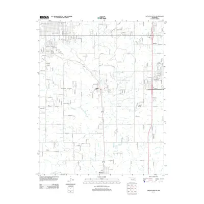
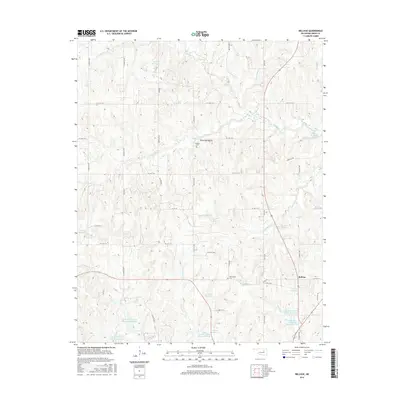
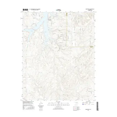
Bellvue and the surrounding Creek County countryside are defined by a complex network of small waterways and modern land use patterns in this topographic study. The landscape is deeply dissected by drainages such as Polecat Cr, Mosquito Cr, and Sand Cr, which feed a series of numbered reservoirs including 037017 Reservoir and 037027 Reservoir. These water management features are characteristic of the region's adaptation to its rolling topography.
Find a feature on this map
58 named features on this map. Tap any name to fly to it.
Don’t see what you’re looking for? This feature index may not catch every label — zoom into the map to look around manually.
Map Details
Editions of this 2022 Bellvue Map
This is the sole edition of this map. No revisions or reprints were ever made.
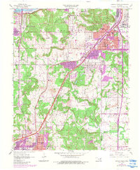
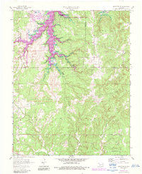
Historical Maps of Bellvue Through Time
61 maps found
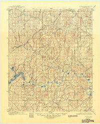
1901 Nuyaka
Creek County, OK
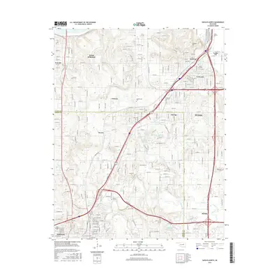
1956 Sapulpa North
Creek County, OK
1958 Mannford SE
Creek County, OK
1958 Sapulpa South
Creek County, OK
1959 Lake Sahoma
Creek County, OK
1971 Bellvue
Creek County, OK
1971 Lake Heyburn
Creek County, OK
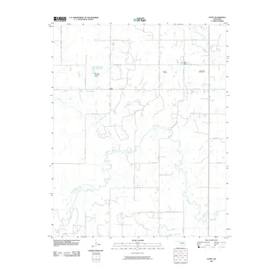
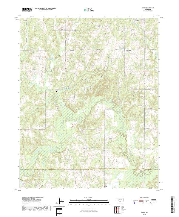
1973 Gypsy
Creek County, OK
1973 Kiefer SW
Creek County, OK
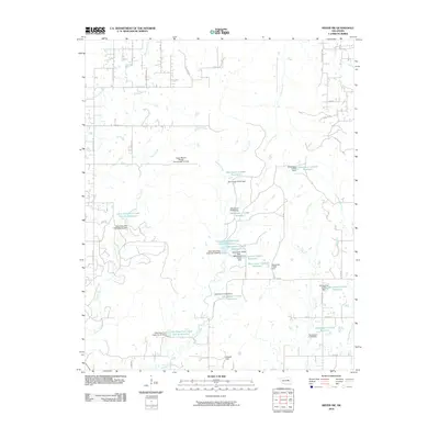
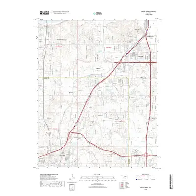
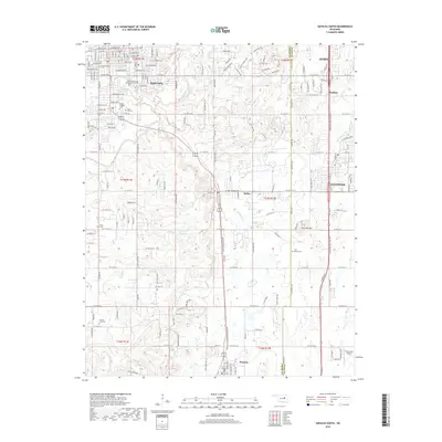
1973 Newby
Creek County, OK
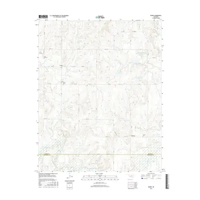
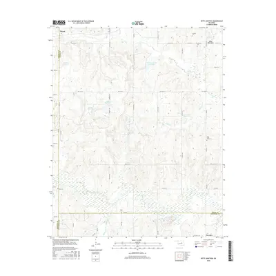
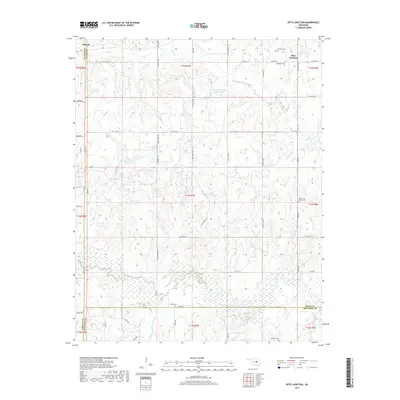
1974 Ritts Junction
Creek County, OK
2009 Bellvue
Creek County, OK
2010 Gypsy
Creek County, OK
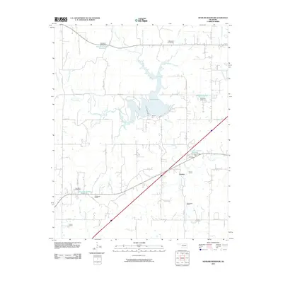
2010 Heyburn Reservoir
Creek County, OK
2010 Kiefer SW
Creek County, OK
2010 Lake Sahoma
Creek County, OK
2010 Mannford SE
Creek County, OK
2010 Newby
Creek County, OK
2010 Ritts Junction
Creek County, OK
2010 Sapulpa North
Creek County, OK
2010 Sapulpa South
Creek County, OK

2012 Bellvue
Creek County, OK
2012 Gypsy
Creek County, OK
2012 Kiefer SW
Creek County, OK
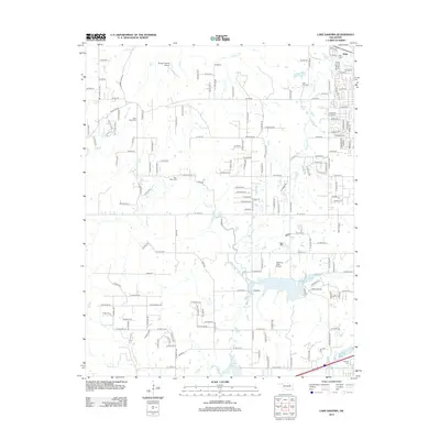
2012 Lake Sahoma
Creek County, OK
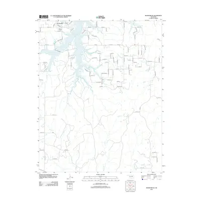
2012 Mannford SE
Creek County, OK
2012 Newby
Creek County, OK
2012 Ritts Junction
Creek County, OK
2012 Sapulpa North
Creek County, OK
2013 Heyburn Reservoir
Creek County, OK
2013 Sapulpa South
Creek County, OK
2016 Bellvue
Creek County, OK
2016 Gypsy
Creek County, OK
2016 Heyburn Reservoir
Creek County, OK
2016 Kiefer SW
Creek County, OK
2016 Lake Sahoma
Creek County, OK
2016 Mannford SE
Creek County, OK
2016 Newby
Creek County, OK
2016 Ritts Junction
Creek County, OK
2016 Sapulpa North
Creek County, OK
2016 Sapulpa South
Creek County, OK
2018 Bellvue
Creek County, OK
2018 Gypsy
Creek County, OK
2018 Heyburn Reservoir
Creek County, OK
2018 Kiefer SW
Creek County, OK
2018 Lake Sahoma
Creek County, OK
2018 Mannford SE
Creek County, OK
2018 Newby
Creek County, OK
2018 Ritts Junction
Creek County, OK
2018 Sapulpa North
Creek County, OK
2018 Sapulpa South
Creek County, OK
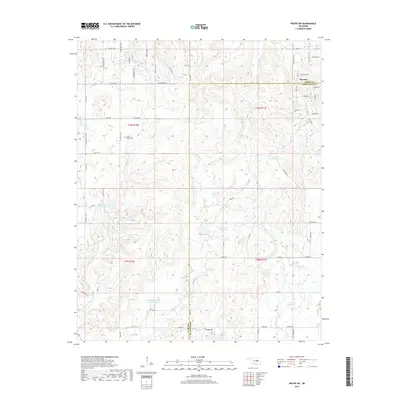
2022 Bellvue
Creek County, OK
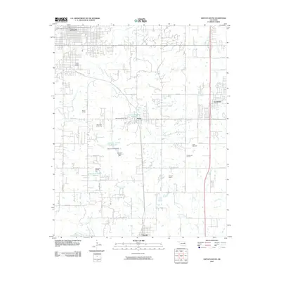
2022 Gypsy
Creek County, OK
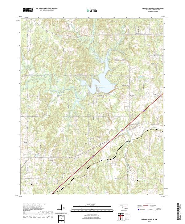
2022 Heyburn Reservoir
Creek County, OK
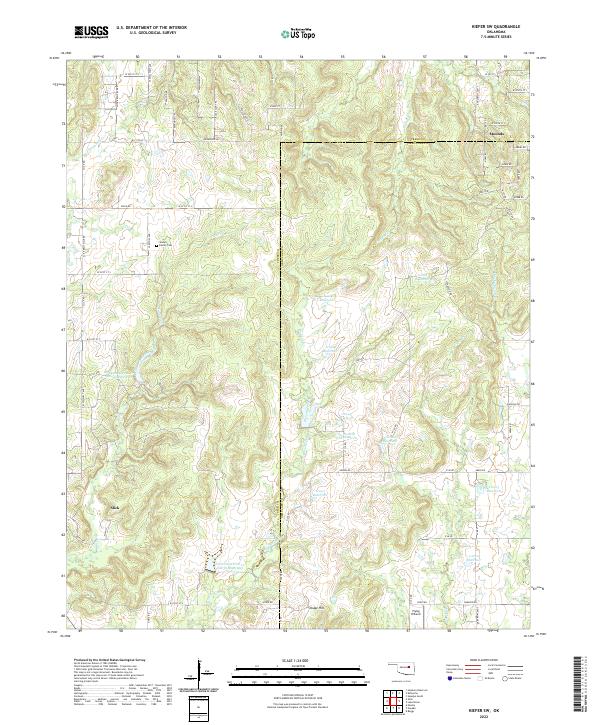
2022 Kiefer SW
Creek County, OK
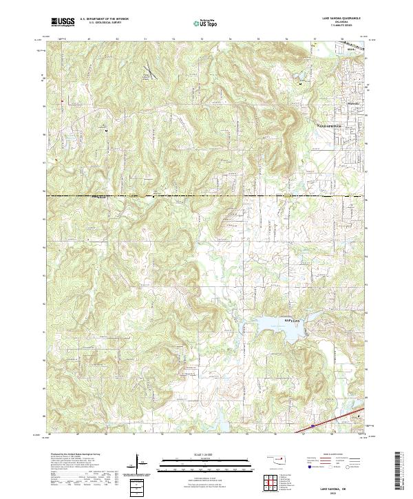
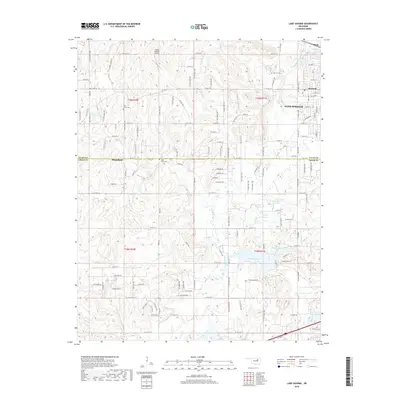
2022 Lake Sahoma
Creek County, OK
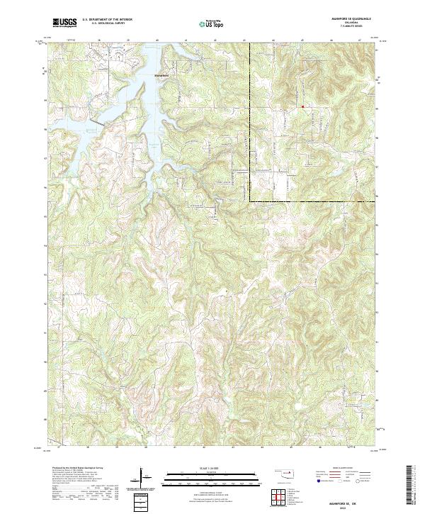
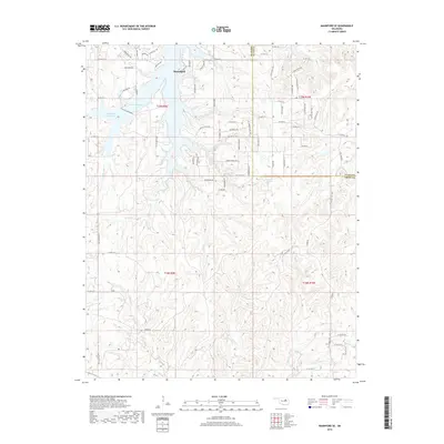
2022 Mannford SE
Creek County, OK
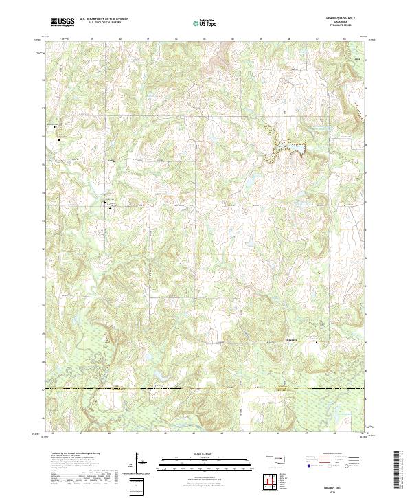
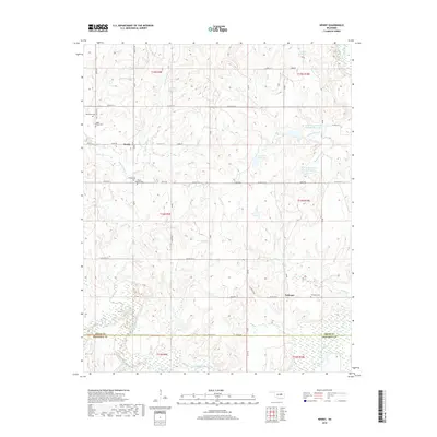
2022 Newby
Creek County, OK
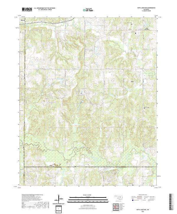
2022 Ritts Junction
Creek County, OK
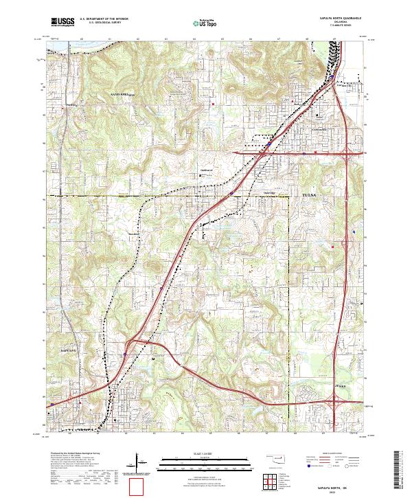
2022 Sapulpa North
Creek County, OK
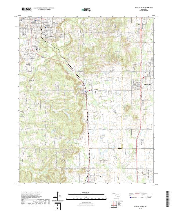
2022 Sapulpa South
Creek County, OK