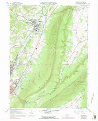
1963 Map of Bellwood
USGS Topo · Published 1991About this map
Tyrone Mountain and Brush Mountain dominate this central Pennsylvania landscape, where narrow valleys dictate the path of early industry and transport. The Penn Central rail line tracks through Antis Valley, connecting the industrial hubs of Bellwood and East Altoona to the larger Appalachian corridor. The settlement of Bellwood serves as a focal point, flanked by established community anchors like Logan Valley Cemetery and the local High Sch.
Find a feature on this map
52 named features on this map. Tap any name to fly to it.
Don’t see what you’re looking for? This feature index may not catch every label — zoom into the map to look around manually.
Map Details
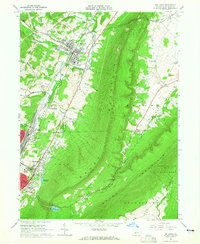
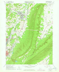
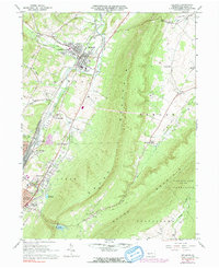
Editions of this 1963 Bellwood Map
4 editions found
Other maps of this area

1901 · Huntingdon
USGS Topo · 1:62,500

1902 · Hollidaysburg
USGS Topo · 1:62,500

1903 · Hollidaysburg
USGS Topo · 1:62,500

1904 · Huntingdon
USGS Topo · 1:62,500

1920 · Altoona
USGS Topo · 1:62,500

1922 · Altoona
USGS Topo · 1:62,500

1923 · Tyrone
USGS Topo · 1:62,500

1929 · Tyrone
USGS Topo · 1:48,000

1933 · Tyrone
USGS Topo · 1:62,500

1946 · Tyrone
USGS Topo · 1:62,500