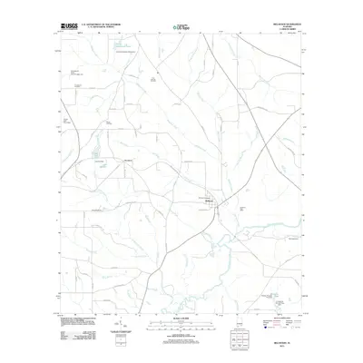
2011 Map of Bellwood
USGS Topo · Published 2011About this map
Bellwood sits at a geographic crossroads in Geneva County, anchored by the Choctawhatchee River and a network of named creek systems. The landscape is defined by its water management and drainage, featuring numerous family-named impoundments such as J A Hughes Lake, Lake Fox, and Jimmy Henderson Pond. These water bodies and their associated dams, like Ted Sketo Dam, suggest a long-standing reliance on local hydrology for agriculture or recreation.
Find a feature on this map
75 named features on this map. Tap any name to fly to it.
Don’t see what you’re looking for? This feature index may not catch every label — zoom into the map to look around manually.
Map Details
Editions of this 2011 Bellwood Map
This is the sole edition of this map. No revisions or reprints were ever made.
Other maps of this area

1942 · Enterprise
USGS Topo · 1:125,000

1948 · Ozark
USGS Topo · 1:62,500

1950 · Ozark
USGS Topo · 1:62,500

1950 · Enterprise
USGS Topo · 1:62,500

1953 · Dothan
USGS Topo · 1:250,000

1954 · Dothan
USGS Topo · 1:250,000

1955 · Dothan
USGS Topo · 1:250,000

1957 · Geneva
USGS Topo · 1:62,500

1957 · Hartford
USGS Topo · 1:62,500
1957 · Hartford
USGS Topo · 1:24,000