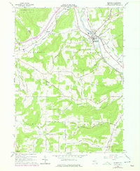
1965 Map of Belmont
USGS Topo · Published 1978About this map
Belmont serves as the focal point of this Allegany County landscape, where the Genesee River carves a path through the valley. The map documents a mid-century period of revision, showing the established Conrail rail line and the intricate network of upland roads like Middaugh Hill Road and Corbin Hill Road. Numerous family and community burial grounds are scattered across the terrain, including St Marys Cem, Forest Hills Cem, and the remote Sortore Cem, providing essential locations for genealogical research. The northern section is dominated by the State Reforestation Area, while the central ridges are dotted with Oil Wells Road and a Lookout and Radio Tower. Small settlements like Belvidere and Inavale reflect the rural character of the southern New York Tier during the 1960s and 1970s.
Find a feature on this map
65 named features on this map. Tap any name to fly to it.
Don’t see what you’re looking for? This feature index may not catch every label — zoom into the map to look around manually.
Map Details
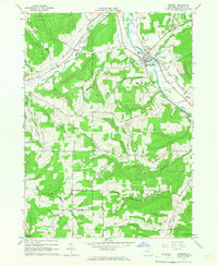
Editions of this 1965 Belmont Map
2 editions found
Other maps of this area

1906 · Angelica
USGS Topo · 1:62,500

1916 · Canaseraga
USGS Topo · 1:62,500

1925 · Belmont
USGS Topo · 1:62,500

1926 · Wellsville
USGS Topo · 1:62,500

1939 · Belmont
USGS Topo · 1:62,500

1940 · Canaseraga
USGS Topo · 1:62,500

1941 · Angelica
USGS Topo · 1:62,500

1950 · Elmira
USGS Topo · 1:250,000

1958 · Elmira
USGS Topo · 1:250,000

1960 · Buffalo
USGS Topo · 1:250,000