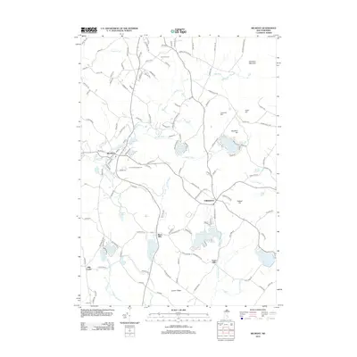
2012 Map of Belmont
USGS Topo · Published 2012About this map
Belmont and Gilmanton anchor this survey of Belknap County, where the Tioga River winds through a landscape defined by its historical mills and highland ridges. Small communities like Allens Mills and Jones Mills indicate the region's industrial past, while the presence of Ham Cem near Hills Corner provides a touchstone for genealogical research. The terrain is marked by significant elevations including Whiteface Mountain and Grant Hill, which look down over numerous water bodies such as Sargent Lake, Sawyer Lake, and Shellcamp Pond. This 2012 update documents the intersection of rural life and outdoor recreation, evidenced by The Acord Campground and the network of local roads like Ladd Hill Rd and Durrell Mountain Rd that connect these dispersed settlements and summits.
Find a feature on this map
136 named features on this map. Tap any name to fly to it.
Don’t see what you’re looking for? This feature index may not catch every label — zoom into the map to look around manually.
Map Details
Editions of this 2012 Belmont Map
This is the sole edition of this map. No revisions or reprints were ever made.
Other maps of this area

1909 · Winnepesaukee
USGS Topo · 1:62,500

1919 · Gilmanton
USGS Topo · 1:62,500

1925 · Holderness
USGS Topo · 1:62,500

1927 · Penacook
USGS Topo · 1:62,500

1927 · Gilmanton
USGS Topo · 1:62,500

1927 · Holderness
USGS Topo · 1:62,500

1949 · Portland
USGS Topo · 1:250,000

1956 · Winnipesaukee
USGS Topo · 1:62,500

1956 · Penacook
USGS Topo · 1:62,500

1956 · Holderness
USGS Topo · 1:62,500