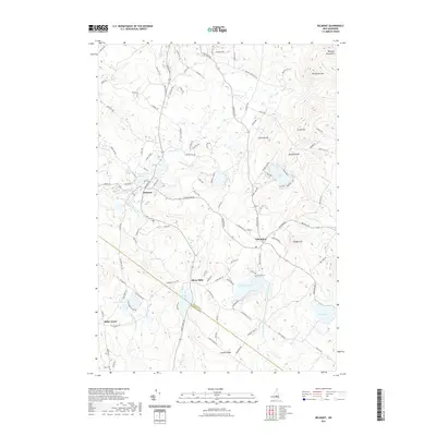
2021 Map of Belmont
USGS Topo · Published 2021About this map
The Tioga River winds through this section of Belknap and Merrimack Counties, anchoring a landscape where small industrial nodes and rural villages have persisted for generations. In the village of Belmont, the Tioga River Reservoir and Pumping Station Br reflect the long-standing management of local water resources for municipal and former industrial needs. Moving southeast, the terrain rises toward Peaked Hill and the Belknap Mountains, sheltering historic clusters like Gilmanton and the small settlement of Allens Mills.
Find a feature on this map
117 named features on this map. Tap any name to fly to it.
Don’t see what you’re looking for? This feature index may not catch every label — zoom into the map to look around manually.
Map Details
Editions of this 2021 Belmont Map
This is the sole edition of this map. No revisions or reprints were ever made.
Other maps of this area

1909 · Winnepesaukee
USGS Topo · 1:62,500

1919 · Gilmanton
USGS Topo · 1:62,500

1925 · Holderness
USGS Topo · 1:62,500

1927 · Penacook
USGS Topo · 1:62,500

1927 · Gilmanton
USGS Topo · 1:62,500

1927 · Holderness
USGS Topo · 1:62,500

1949 · Portland
USGS Topo · 1:250,000

1956 · Winnipesaukee
USGS Topo · 1:62,500

1956 · Penacook
USGS Topo · 1:62,500

1956 · Holderness
USGS Topo · 1:62,500