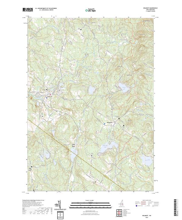
2024 Map of Belmont
USGS Topo · Published 2024About this map
The Tioga River Reservoir and its surrounding hillsides define the landscape of this Belknap County region, where the town of Belmont serves as a primary hub. The terrain is marked by significant elevations like the Belknap Mountains and Whiteface Mtn, which overlook a network of smaller water bodies including Sawyer Lake and Shellcamp Pond. For those researching local families, the map is densely populated with historic burial sites such as the Friends Burial Ground, Highland Cem, and Beech Grove Cem.
Find a feature on this map
75 named features on this map. Tap any name to fly to it.
Don’t see what you’re looking for? This feature index may not catch every label — zoom into the map to look around manually.
Map Details
Editions of this 2024 Belmont Map
This is the sole edition of this map. No revisions or reprints were ever made.
Other maps of this area

1909 · Winnepesaukee
USGS Topo · 1:62,500

1919 · Gilmanton
USGS Topo · 1:62,500

1925 · Holderness
USGS Topo · 1:62,500

1927 · Penacook
USGS Topo · 1:62,500

1927 · Gilmanton
USGS Topo · 1:62,500

1927 · Holderness
USGS Topo · 1:62,500

1949 · Portland
USGS Topo · 1:250,000

1956 · Winnipesaukee
USGS Topo · 1:62,500

1956 · Penacook
USGS Topo · 1:62,500

1956 · Holderness
USGS Topo · 1:62,500