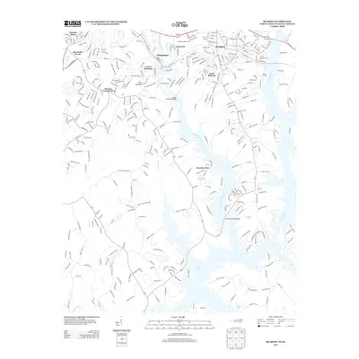
2013 Map of Belmont
USGS Topo · Published 2013About this map
The S Fork Catawba River and Catawba River define the intricate landscape of this region as it appeared in the early 21st century. The textile heritage and rail-adjacent growth of Cramerton and Belmont are visible through their dense residential street grids and industrial positioning near the water. Higher elevations such as Cramer Mountain and Berry Mountain offer a contrast to the low-lying peninsula of Paradise Point, which extends into the sprawling reach of Lake Wylie.
Find a feature on this map
160 named features on this map. Tap any name to fly to it.
Don’t see what you’re looking for? This feature index may not catch every label — zoom into the map to look around manually.
Map Details
Editions of this 2013 Belmont Map
This is the sole edition of this map. No revisions or reprints were ever made.
Other maps of this area

1905 · Charlotte
USGS Topo · 1:48,000

1907 · Charlotte
USGS Topo · 1:62,500

1914 · Gastonia
USGS Topo · 1:48,000

1916 · Gastonia
USGS Topo · 1:62,500

1941 · Charlotte
USGS Topo · 1:125,000

1942 · Charlotte
USGS Topo · 1:125,000

1947 · Clover
USGS Topo · 1:62,500

1948 · Paw Creek
USGS Topo · 1:24,000

1948 · Charlotte West
USGS Topo · 1:24,000

1949 · Clover
USGS Topo · 1:62,500