
1936 Map of Belmont
USGS Topo · Published 1936About this map
Belmont and Dennis anchor this 1936 survey, illustrating a landscape defined by the Illinois Central Railroad and the winding course of Bear Creek. The map documents a period of active New Deal era development, prominently featuring the Tishomingo State Park and the associated CCC Camp No 3497. These labels provide a clear spatial record of the Civilian Conservation Corps' footprint in northeastern Mississippi shortly after the park's inception.
Find a feature on this map
47 named features on this map. Tap any name to fly to it.
Don’t see what you’re looking for? This feature index may not catch every label — zoom into the map to look around manually.
Map Details
Editions of this 1936 Belmont Map
This is the sole edition of this map. No revisions or reprints were ever made.
Other maps of this area

1935 · Holcut
USGS Topo · 1:24,000

1935 · Pleasant Site
USGS Topo · 1:24,000

1936 · Red Bay
USGS Topo · 1:24,000

1936 · Halltown
USGS Topo · 1:24,000

1936 · Bishop
USGS Topo · 1:24,000

1936 · Tishomingo
USGS Topo · 1:24,000

1950 · Paden
USGS Topo · 1:24,000

1950 · Belmont
USGS Topo · 1:24,000
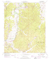
1950 · Bishop
USGS Topo · 1:24,000
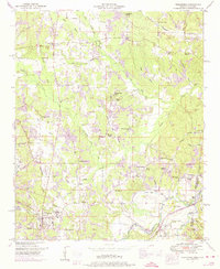
1950 · Tishomingo
USGS Topo · 1:24,000