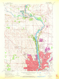
1962 Map of Beloit
USGS Topo · Published 1972About this map
The Rock River corridor serves as the industrial and residential spine of this region during the early 1960s, with later updates showing the expansion of Beloit into surrounding rural lands. The city's core is defined by institutional landmarks such as Beloit College and the Municipal Hospital, while the rail networks of the Chicago and North Western and Chicago Milwaukee St Paul and Pacific facilitate the movement of goods through the valley.
Find a feature on this map
76 named features on this map. Tap any name to fly to it.
Don’t see what you’re looking for? This feature index may not catch every label — zoom into the map to look around manually.
Map Details
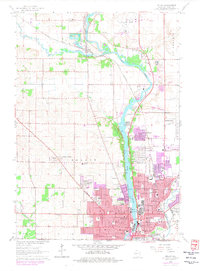
Editions of this 1962 Beloit Map
2 editions found
Other maps of this area

1891 · Janesville
USGS Topo · 1:62,500

1893 · Janesville
USGS Topo · 1:62,500

1893 · Shopiere
USGS Topo · 1:62,500

1918 · Rockford
USGS Topo · 1:62,500

1918 · Belvidere
USGS Topo · 1:62,500

1938 · Rockford
USGS Topo · 1:62,500

1944 · Belvidere
USGS Topo · 1:62,500

1954 · Rockford
USGS Topo · 1:250,000

1955 · Rockford
USGS Topo · 1:250,000

1958 · Rockford
USGS Topo · 1:250,000