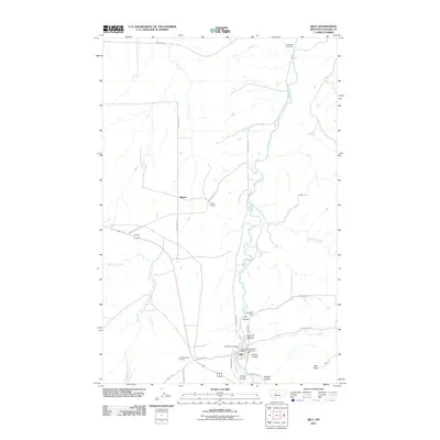
2011 Map of Belt
USGS Topo · Published 2011About this map
Belt sits at the confluence of the winding Belt Creek and several deep coulees, defining the landscape of this Cascade County region. The terrain is marked by significant topographical shifts, most notably at Belt Butte and through the various drainages like Orr Coulee and Lewis Coulee. This survey documents the intersection of historical industry and local transit, featuring the East Belt Mine and the engineering of the Wayne Tunnel near the settlement of Wayne.
Find a feature on this map
32 named features on this map. Tap any name to fly to it.
Don’t see what you’re looking for? This feature index may not catch every label — zoom into the map to look around manually.
Map Details
Editions of this 2011 Belt Map
This is the sole edition of this map. No revisions or reprints were ever made.
Other maps of this area

1886 · Great Falls
USGS Topo · 1:250,000

1890 · Fort Benton
USGS Topo · 1:250,000

1892 · Fort Benton
USGS Topo · 1:250,000

1897 · Fort Benton
USGS Topo · 1:250,000

1948 · Portage
USGS Topo · 1:62,500

1949 · Portage
USGS Topo · 1:62,500

1954 · Great Falls
USGS Topo · 1:250,000

1954 · Waltham
USGS Topo · 1:24,000

1955 · Stockett
USGS Topo · 1:62,500

1956 · Highwood
USGS Topo · 1:62,500