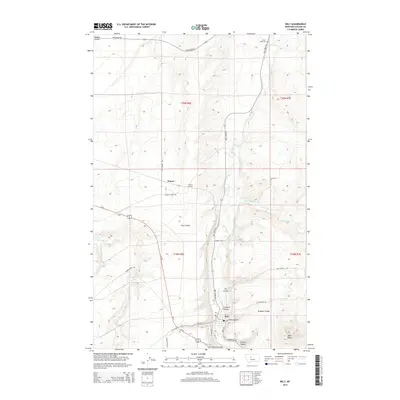
2014 Map of Belt
USGS Topo · Published 2014About this map
The town of Belt serves as a focal point in this 2014 survey of Cascade County, where the landscape is defined by a dense network of coulees draining toward the valley. The presence of the Wayne Tunnel near the settlement of Wayne reflects the historical railroad engineering required to navigate this portion of Montana. The terrain rises sharply at Belt Butte to the southeast, overlooking a series of drainage systems including French Coulee, Lewis Coulee, and Graham Coulee. Genealogists may find interest in the Lower Belt Cem located in the northern reaches of the quadrangle along the winding path of Belt Creek. The map also traces various local routes such as Highwood Rd and Red Coulle Rd, illustrating the modern transportation framework overlying the traditional township and range divisions of t20n r6e and t19n r6e.
Find a feature on this map
34 named features on this map. Tap any name to fly to it.
Don’t see what you’re looking for? This feature index may not catch every label — zoom into the map to look around manually.
Map Details
Editions of this 2014 Belt Map
This is the sole edition of this map. No revisions or reprints were ever made.
Other maps of this area

1886 · Great Falls
USGS Topo · 1:250,000

1890 · Fort Benton
USGS Topo · 1:250,000

1892 · Fort Benton
USGS Topo · 1:250,000

1897 · Fort Benton
USGS Topo · 1:250,000

1948 · Portage
USGS Topo · 1:62,500

1949 · Portage
USGS Topo · 1:62,500

1954 · Great Falls
USGS Topo · 1:250,000

1954 · Waltham
USGS Topo · 1:24,000

1955 · Stockett
USGS Topo · 1:62,500

1956 · Highwood
USGS Topo · 1:62,500