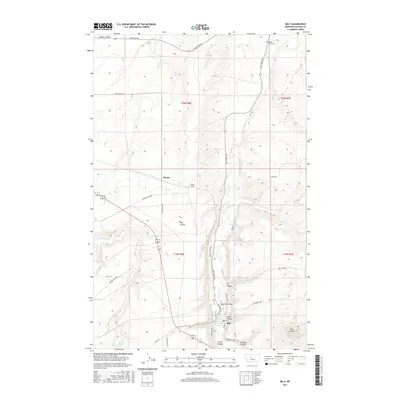
2017 Map of Belt
USGS Topo · Published 2017About this map
Belt sits at the convergence of several drainages in Cascade County, where the valley floor is defined by the winding path of Belt Creek. The landscape is a complex network of coulees, including French Coulee, Orr Coulee, and Lewis Coulee, which carve through the high plains. This 2017 survey details the infrastructure surrounding the community, from the northern reach of Lower Belt Cem to the industrial and agricultural corridors of Armington Rd and Buffalo Run Rd.
Find a feature on this map
34 named features on this map. Tap any name to fly to it.
Don’t see what you’re looking for? This feature index may not catch every label — zoom into the map to look around manually.
Map Details
Editions of this 2017 Belt Map
This is the sole edition of this map. No revisions or reprints were ever made.
Other maps of this area

1886 · Great Falls
USGS Topo · 1:250,000

1890 · Fort Benton
USGS Topo · 1:250,000

1892 · Fort Benton
USGS Topo · 1:250,000

1897 · Fort Benton
USGS Topo · 1:250,000

1948 · Portage
USGS Topo · 1:62,500

1949 · Portage
USGS Topo · 1:62,500

1954 · Great Falls
USGS Topo · 1:250,000

1954 · Waltham
USGS Topo · 1:24,000

1955 · Stockett
USGS Topo · 1:62,500

1956 · Highwood
USGS Topo · 1:62,500