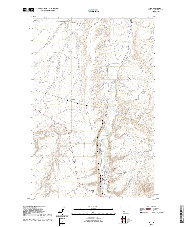
2024 Map of Belt
USGS Topo · Published 2024About this map
Belt Creek carves a deep valley through this northern Montana landscape, where the town of Belt serves as a central hub for the surrounding ranching and agricultural community. The terrain is defined by a complex network of drainage systems, including Little Belt Creek and Box Elder Creek, which feed into the main waterway. Notable landmarks such as Belt Butte rise above the coulee-scored plains, providing significant orientation points for locals and travelers alike.
Find a feature on this map
30 named features on this map. Tap any name to fly to it.
Don’t see what you’re looking for? This feature index may not catch every label — zoom into the map to look around manually.
Map Details
Editions of this 2024 Belt Map
This is the sole edition of this map. No revisions or reprints were ever made.
Other maps of this area

1886 · Great Falls
USGS Topo · 1:250,000

1890 · Fort Benton
USGS Topo · 1:250,000

1892 · Fort Benton
USGS Topo · 1:250,000

1897 · Fort Benton
USGS Topo · 1:250,000

1948 · Portage
USGS Topo · 1:62,500

1949 · Portage
USGS Topo · 1:62,500

1954 · Great Falls
USGS Topo · 1:250,000

1954 · Waltham
USGS Topo · 1:24,000

1955 · Stockett
USGS Topo · 1:62,500

1956 · Highwood
USGS Topo · 1:62,500