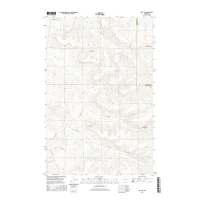
2017 Map of Belt NE
USGS Topo · Published 2017About this map
Little Belt Cr and several branches of Willow Creek define the drainage patterns of this central Montana landscape. The terrain is structured by a network of ranch roads and township boundaries, where the border between Cascade County and Chouteau County runs north-south through the eastern sections. This 2017 survey reveals a pastoral region primarily organized around family-named or topographical landmarks, such as Burley Hill Rd and Thibedeau Rd. Transport routes like Little Belt Rd and the Belt Butte Cutoff Rd provide a clear view of the modern rural infrastructure, connecting isolated drainages like N Willow Cr and Middle Willow Cr. The map's detailed contouring and road naming, including Johnson Marn Rd, offer a precise record of land use and access in this part of the state.
Find a feature on this map
19 named features on this map. Tap any name to fly to it.
Don’t see what you’re looking for? This feature index may not catch every label — zoom into the map to look around manually.
Map Details
Editions of this 2017 Belt NE Map
This is the sole edition of this map. No revisions or reprints were ever made.
Other maps of this area

1890 · Fort Benton
USGS Topo · 1:250,000

1892 · Fort Benton
USGS Topo · 1:250,000

1897 · Fort Benton
USGS Topo · 1:250,000

1954 · Great Falls
USGS Topo · 1:250,000

1954 · Waltham
USGS Topo · 1:24,000

1956 · Highwood
USGS Topo · 1:62,500

1956 · Belt
USGS Topo · 1:62,500

1957 · Great Falls
USGS Topo · 1:250,000
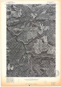
1975 · Belt SE
USGS Topo · 1:24,000
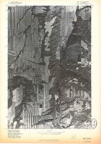
1975 · Belt NW
USGS Topo · 1:24,000