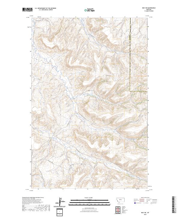
2024 Map of Belt NE
USGS Topo · Published 2024About this map
The eastern foothills of the Highwood Mountains dominate this landscape in north-central Montana, where the terrain is carved by a complex network of branching drainage systems. The map illustrates a transitional topography between high elevations and the rolling plains of Cascade and Chouteau counties. Waterways define the local orientation, specifically the tiered flows of North Willow Creek, Middle Willow Creek, and Big Willow Creek which descend from the western uplands.
Find a feature on this map
19 named features on this map. Tap any name to fly to it.
Don’t see what you’re looking for? This feature index may not catch every label — zoom into the map to look around manually.
Map Details
Editions of this 2024 Belt NE Map
This is the sole edition of this map. No revisions or reprints were ever made.
Other maps of this area

1890 · Fort Benton
USGS Topo · 1:250,000

1892 · Fort Benton
USGS Topo · 1:250,000

1897 · Fort Benton
USGS Topo · 1:250,000

1954 · Great Falls
USGS Topo · 1:250,000

1954 · Waltham
USGS Topo · 1:24,000

1956 · Highwood
USGS Topo · 1:62,500

1956 · Belt
USGS Topo · 1:62,500

1957 · Great Falls
USGS Topo · 1:250,000
1975 · Belt SE
USGS Topo · 1:24,000

1975 · Belt NW
USGS Topo · 1:24,000