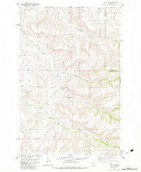
1982 Map of Belt NE
USGS Topo · Published 1983About this map
Little Belt Creek winds through the southern reaches of this landscape where Cascade and Chouteau counties meet. The area is defined by a dense network of watercourses, including the North Willow Creek, Middle Willow Creek, and Big Willow Creek, which carve through the high ground. Settlement is sparse, represented by established landmarks like the Willow Creek Ranch and the Willow Bend School, illustrating the localized rural infrastructure of the late 1970s and early 1980s.
Find a feature on this map
11 named features on this map. Tap any name to fly to it.
Don’t see what you’re looking for? This feature index may not catch every label — zoom into the map to look around manually.
Map Details
Editions of this 1982 Belt NE Map
This is the sole edition of this map. No revisions or reprints were ever made.
Other maps of this area

1890 · Fort Benton
USGS Topo · 1:250,000

1892 · Fort Benton
USGS Topo · 1:250,000

1897 · Fort Benton
USGS Topo · 1:250,000

1954 · Great Falls
USGS Topo · 1:250,000

1954 · Waltham
USGS Topo · 1:24,000

1956 · Highwood
USGS Topo · 1:62,500

1956 · Belt
USGS Topo · 1:62,500

1957 · Great Falls
USGS Topo · 1:250,000
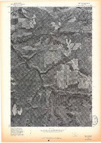
1975 · Belt SE
USGS Topo · 1:24,000
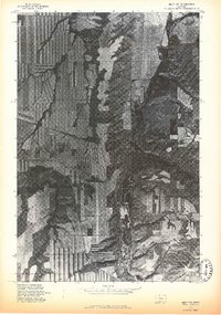
1975 · Belt NW
USGS Topo · 1:24,000