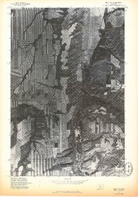
1975 Map of Belt NW
USGS Topo · Published 1975About this map
Belt anchors the southern edge of this 1975 orthophotograph, where the town's grid and industrial footprints are clearly visible against the meandering path of Belt Creek. This aerial-based survey reveals a landscape of high-contrast agricultural patterns, showing the precise strip-cropping and terracing techniques used on the plateaus above the creek valley. The terrain is dominated by the prominent rise of Belt Butte to the southeast, a distinctive landmark overlooking the transition from rolling croplands to the deeper coulees and drainage systems of the Cascade County region. For researchers, this imagery provides an exact visual record of the town's 1970s boundaries and the intensive land use of the surrounding plains before later shifts in rural development.
Find a feature on this map
3 named features on this map. Tap any name to fly to it.
Don’t see what you’re looking for? This feature index may not catch every label — zoom into the map to look around manually.
Map Details
Editions of this 1975 Belt NW Map
This is the sole edition of this map. No revisions or reprints were ever made.
Other maps of this area

1886 · Great Falls
USGS Topo · 1:250,000

1890 · Fort Benton
USGS Topo · 1:250,000

1892 · Fort Benton
USGS Topo · 1:250,000

1897 · Fort Benton
USGS Topo · 1:250,000

1948 · Portage
USGS Topo · 1:62,500

1949 · Portage
USGS Topo · 1:62,500

1954 · Great Falls
USGS Topo · 1:250,000

1954 · Waltham
USGS Topo · 1:24,000

1955 · Stockett
USGS Topo · 1:62,500

1956 · Highwood
USGS Topo · 1:62,500