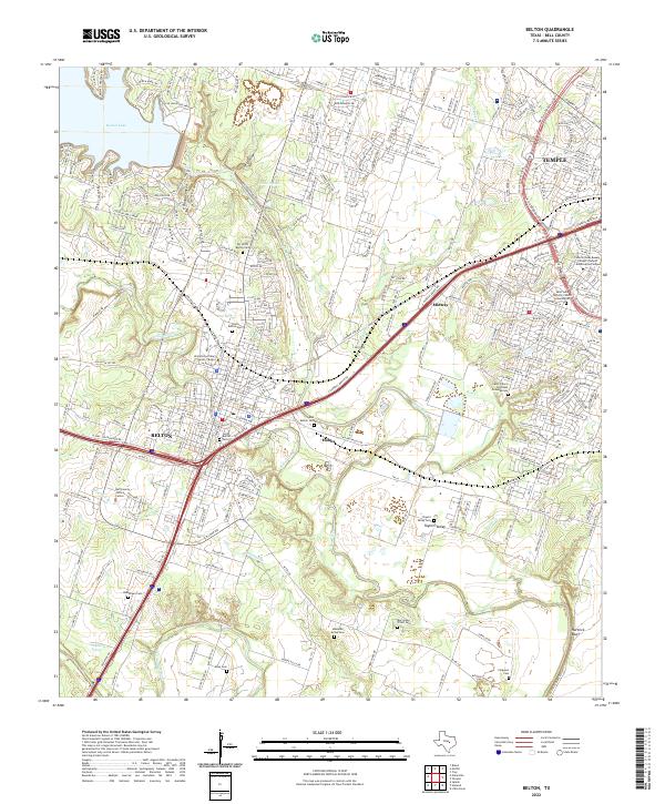
2022 Map of Belton
USGS Topo · Published 2022About this map
Belton and the southern edge of Temple anchor this study of Bell County’s central corridor, where the Leon River and Lampasas River converge. The landscape is defined by its significant educational and civic institutions, most notably the University of Mary Hardin-Baylor and the Bell County Justice Center. Water dominates the northern and southern reaches, from the shores of Belton Lake to the winding course of Nolan Creek as it passes through the heart of the city.
Find a feature on this map
50 named features on this map. Tap any name to fly to it.
Don’t see what you’re looking for? This feature index may not catch every label — zoom into the map to look around manually.
Map Details
Editions of this 2022 Belton Map
This is the sole edition of this map. No revisions or reprints were ever made.
Other maps of this area

1885 · Taylor
USGS Topo · 1:125,000

1887 · Taylor
USGS Topo · 1:125,000

1892 · Temple
USGS Topo · 1:125,000

1893 · Georgetown
USGS Topo · 1:125,000

1894 · Gatesville
USGS Topo · 1:125,000

1894 · Taylor
USGS Topo · 1:125,000

1924 · Gatesville 4-d
USGS Topo · 1:48,000

1924 · Gatesville 4-a
USGS Topo · 1:48,000

1924 · Temple 3-C
USGS Topo · 1:48,000

1924 · Temple 3-B
USGS Topo · 1:48,000