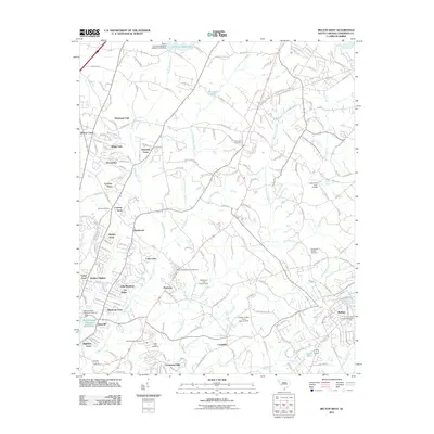
2011 Map of Belton West
USGS Topo · Published 2011About this map
Belton stands at the eastern edge of this landscape, where the town's grid meets the Belton Cemetery and the branching headwaters of Cherokee Creek. Moving west, the terrain is defined by the significant drainage systems of the Rocky River and Beaverdam Creek, which carve through a mosaic of residential developments like Hampton Acres, Cobbs Glen, and Creekwood Hills. This suburban pattern indicates the 21st-century growth radiating from the nearby city centers, yet the area maintains its local heritage through numerous burial grounds, including the Eureka Baptist Cemetery and Whitefield Cemetery.
Find a feature on this map
218 named features on this map. Tap any name to fly to it.
Don’t see what you’re looking for? This feature index may not catch every label — zoom into the map to look around manually.
Map Details
Editions of this 2011 Belton West Map
This is the sole edition of this map. No revisions or reprints were ever made.
Other maps of this area

1888 · Pickens
USGS Topo · 1:125,000

1892 · Abbeville
USGS Topo · 1:125,000

1893 · Elberton
USGS Topo · 1:125,000

1894 · Pickens
USGS Topo · 1:125,000

1954 · Greenville
USGS Topo · 1:250,000

1957 · Anderson
USGS Topo · 1:62,500

1957 · Williamston
USGS Topo · 1:62,500

1958 · Greenville
USGS Topo · 1:250,000

1964 · Saylors Crossroads
USGS Topo · 1:24,000
1964 · Anderson South
USGS Topo · 1:24,000